Great Falls night lights from space
Night Light of Great Falls (Montana) from space (United States) Src. Average luminocity for 10x10km area is 57.3778% and for 50x50km: 3.725%.
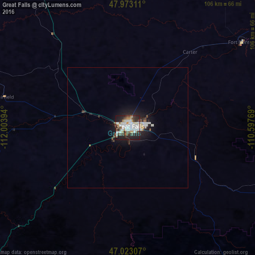
Analysis of Great Falls night lights 2016
Square area 10x10 km:
 16.34%
90-99
16.76%80-89
3.84%70-79
4.69%60-69
2.41%50-59
6.25%40-49
6.96%30-39
7.67%20-29
20.6%10-19
14.35%0-9
0.14%Square area 50x50 km:
0.82%90-99
0.87%80-89
0.25%70-79
0.24%60-69
0.17%50-59
0.39%40-49
0.38%30-39
0.42%20-29
1.39%10-19
3.02%0-9
92.04%Clear (daylight) street map image can be seen on geolist.org.
Map coordinates:
47° 58' 23.2" North, 112° 0' 14.2" West
47° 30' 0.9" North, 111° 18' 2.9" West
47° 1' 23.1" North, 110° 35' 51.7" West
Some cities around Great Falls sort by population:
• Butte
191.1 km =118.7 mi,  209°
209°
• Helena
115.3 km =71.6 mi, 208°
• Havre
167.6 km =104.1 mi,  45°
45°
• Anaconda
197.1 km =122.5 mi,  219°
219°
• Helena Valley Southeast
109.1 km =67.8 mi, 205°
• Belgrade
191.9 km =119.2 mi,  177°
177°
• Helena Valley West Central
109.4 km =68 mi, 211°
• Lewistown
149.4 km =92.8 mi,  109°
109°
5655240 (p: 59,638)
Sources (retrieved 2019-11-25):
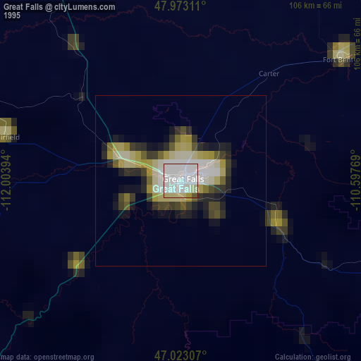
» NASA, Earths city lights 1995
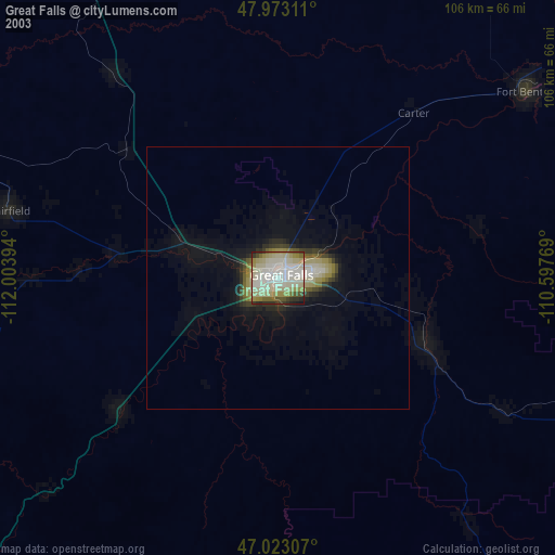
» NASA city lights 2003
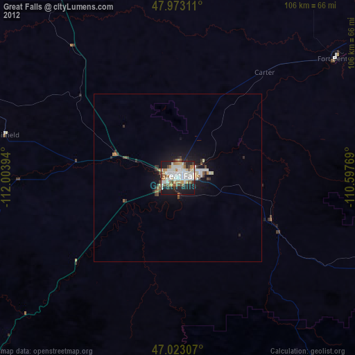
» Earth at Night: Flat Maps 2012, 2016