League City night lights from space
Night Light of League City (Texas) from space (United States) Src. Average luminocity for 10x10km area is 84.1136% and for 50x50km: 55.4819%.
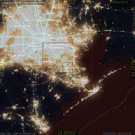
Analysis of League City night lights 2016
Square area 10x10 km:
 22.16%
90-99
18.18%80-89
16.29%70-79
28.6%60-69
13.26%50-59
0.38%40-49
0.57%30-39
0.57%20-29
0%10-19
0%0-9
0%Square area 50x50 km:
15.06%90-99
10.93%80-89
7.58%70-79
9.32%60-69
7.47%50-59
7.39%40-49
5.95%30-39
5.64%20-29
5.62%10-19
7.75%0-9
17.29%Clear (daylight) street map image can be seen on geolist.org.
Map coordinates:
30° 7' 3.1" North, 95° 47' 53" West
29° 30' 26.8" North, 95° 5' 41.7" West
28° 53' 37.2" North, 94° 23' 30.5" West
Some cities around League City sort by population:
• Friendswood
10.6 km =6.6 mi,  283°
283°
• La Porte
19.1 km =11.9 mi,  22°
22°
• Alvin
17.2 km =10.7 mi,  237°
237°
• Dickinson
6.7 km =4.2 mi,  140°
140°
• Seabrook
9.2 km =5.7 mi,  46°
46°
• Santa Fe
14.4 km =8.9 mi,  184°
184°
• Webster
4.1 km =2.5 mi,  326°
326°
• Bacliff
9.9 km =6.2 mi,  90°
90°
4705692 (p: 98,312)
Sources (retrieved 2019-11-25):
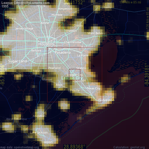
» NASA, Earths city lights 1995
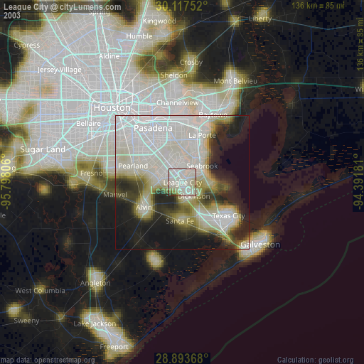
» NASA city lights 2003
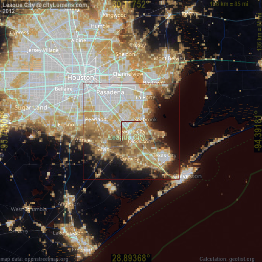
» Earth at Night: Flat Maps 2012, 2016