Friendswood night lights from space
Night Light of Friendswood (Texas) from space (United States) Src. Average luminocity for 10x10km area is 77.6686% and for 50x50km: 65.859%.
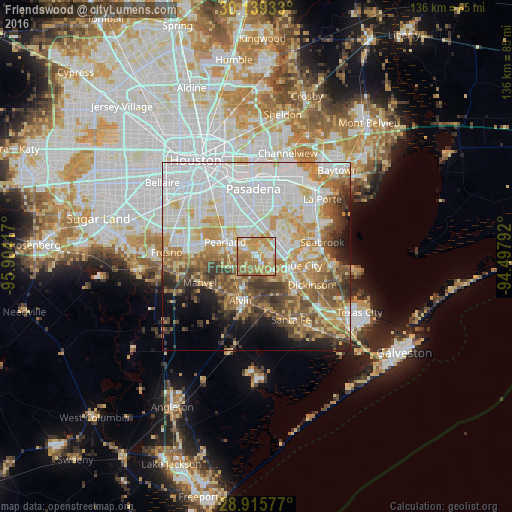
Analysis of Friendswood night lights 2016
Square area 10x10 km:
 10.42%
90-99
14.58%80-89
12.69%70-79
31.06%60-69
24.43%50-59
6.82%40-49
0%30-39
0%20-29
0%10-19
0%0-9
0%Square area 50x50 km:
21.57%90-99
14.44%80-89
8.49%70-79
9.8%60-69
7.97%50-59
7.36%40-49
6.08%30-39
5.29%20-29
3.93%10-19
5.52%0-9
9.55%Clear (daylight) street map image can be seen on geolist.org.
Map coordinates:
30° 8' 21.6" North, 95° 54' 15" West
29° 31' 45.8" North, 95° 12' 3.7" West
28° 54' 56.8" North, 94° 29' 52.5" West
Some cities around Friendswood sort by population:
• Pearland
9.1 km =5.7 mi,  294°
294°
• League City
10.6 km =6.6 mi,  103°
103°
• Alvin
12.5 km =7.8 mi,  199°
199°
• Dickinson
16.4 km =10.2 mi,  117°
117°
• South Houston
15.2 km =9.4 mi,  347°
347°
• Seabrook
17.4 km =10.8 mi,  77°
77°
• Webster
8.1 km =5 mi, 83°
• Manvel
16.9 km =10.5 mi,  243°
243°
4692521 (p: 38,800)
Sources (retrieved 2019-11-25):
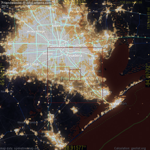
» Earth at Night: Flat Maps 2012, 2016