Largo night lights from space
Night Light of Largo (Florida) from space (United States) Src. Average luminocity for 10x10km area is 91.9924% and for 50x50km: 40.6527%.
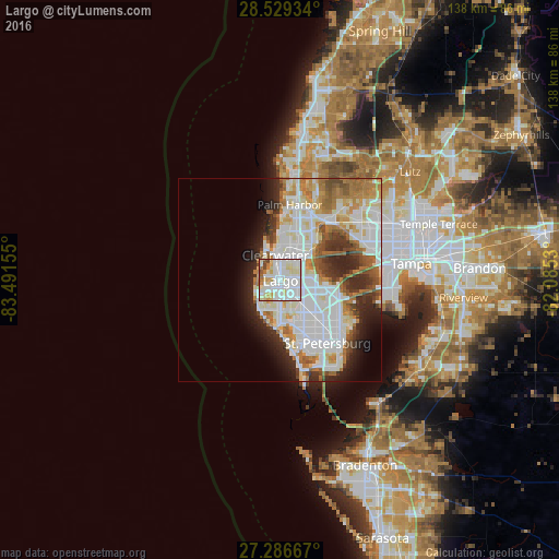
Analysis of Largo night lights 2016
Square area 10x10 km:
 41.86%
90-99
31.06%80-89
13.83%70-79
5.3%60-69
3.98%50-59
0.95%40-49
3.03%30-39
0%20-29
0%10-19
0%0-9
0%Square area 50x50 km:
14.23%90-99
10.12%80-89
4.22%70-79
3.5%60-69
5.71%50-59
3.2%40-49
2.94%30-39
3%20-29
6.37%10-19
5.43%0-9
41.28%Clear (daylight) street map image can be seen on geolist.org.
Map coordinates:
28° 31' 45.6" North, 83° 29' 29.6" West
27° 54' 35.2" North, 82° 47' 18.3" West
27° 17' 12" North, 82° 5' 7.1" West
Some cities around Largo sort by population:
• Clearwater
6.3 km =3.9 mi,  349°
349°
• Pinellas Park
11.5 km =7.1 mi,  130°
130°
• Dunedin
12.3 km =7.6 mi,  6°
6°
• West and East Lealman
13.9 km =8.6 mi,  135°
135°
• Seminole
7.8 km =4.8 mi,  182°
182°
• Safety Harbor
13 km =8.1 mi,  46°
46°
• South Highpoint
7.5 km =4.7 mi,  83°
83°
• Kenneth City
12.4 km =7.7 mi,  147°
147°
4161580 (p: 81,000)
Sources (retrieved 2019-11-25):
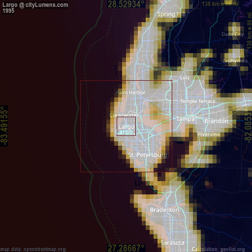
» NASA, Earths city lights 1995
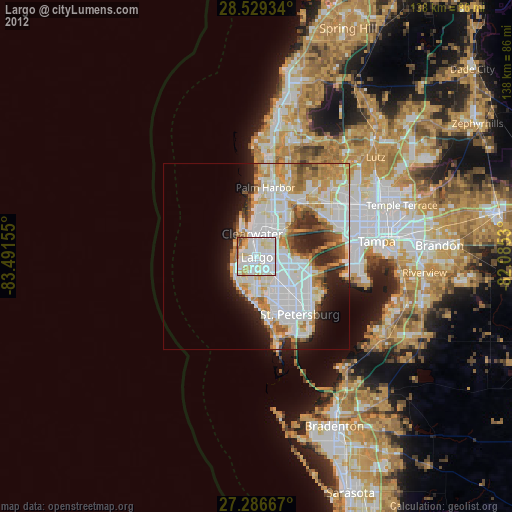
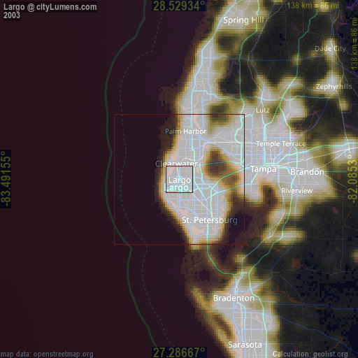
» NASA city lights 2003
» Earth at Night: Flat Maps 2012, 2016