Dunedin night lights from space
Night Light of Dunedin (Florida) from space (United States) Src. Average luminocity for 10x10km area is 81.1496% and for 50x50km: 44.922%.
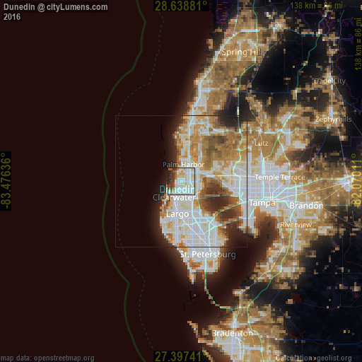
Analysis of Dunedin night lights 2016
Square area 10x10 km:
 33.71%
90-99
27.08%80-89
9.47%70-79
3.41%60-69
2.84%50-59
4.92%40-49
3.79%30-39
6.63%20-29
7.58%10-19
0.57%0-9
0%Square area 50x50 km:
13.77%90-99
10.54%80-89
5.23%70-79
5.43%60-69
7.95%50-59
4.1%40-49
3.54%30-39
2.91%20-29
6.45%10-19
4.9%0-9
35.19%Clear (daylight) street map image can be seen on geolist.org.
Map coordinates:
28° 38' 19.7" North, 83° 28' 34.9" West
28° 1' 11.6" North, 82° 46' 23.6" West
27° 23' 50.7" North, 82° 4' 12.4" West
Some cities around Dunedin sort by population:
• Clearwater
6.6 km =4.1 mi,  203°
203°
• Largo
12.3 km =7.6 mi,  186°
186°
• Palm Harbor
6.5 km =4 mi,  8°
8°
• East Lake
12.7 km =7.9 mi,  37°
37°
• Tarpon Springs
14.1 km =8.8 mi, 6°
• Safety Harbor
8.5 km =5.3 mi,  112°
112°
• Oldsmar
10.7 km =6.6 mi,  81°
81°
• South Highpoint
12.9 km =8 mi,  152°
152°
4153759 (p: 36,164)
Sources (retrieved 2019-11-25):
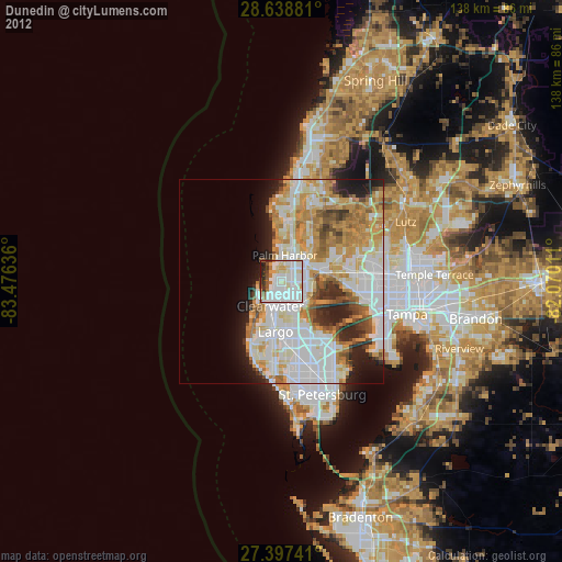
» Earth at Night: Flat Maps 2012, 2016