South Highpoint night lights from space
Night Light of South Highpoint (Florida) from space (United States) Src. Average luminocity for 10x10km area is 86.1023% and for 50x50km: 50.6725%.
Analysis of South Highpoint night lights 2016
Square area 10x10 km:
 45.08%
90-99
21.78%80-89
5.11%70-79
7.58%60-69
3.98%50-59
5.49%40-49
5.68%30-39
4.73%20-29
0.57%10-19
0%0-9
0%Square area 50x50 km:
18.9%90-99
12.24%80-89
4.93%70-79
4.69%60-69
6.97%50-59
3.8%40-49
3.42%30-39
3.35%20-29
6.55%10-19
6.85%0-9
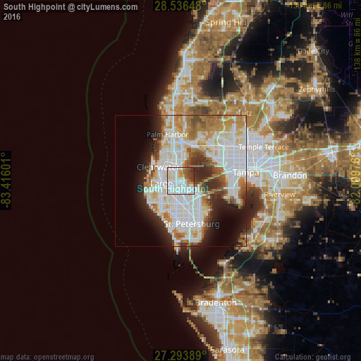
28.29%Clear (daylight) street map image can be seen on geolist.org.
Map coordinates:
28° 32' 11.3" North, 83° 24' 57.6" West
27° 55' 1.1" North, 82° 42' 46.4" West
27° 17' 38" North, 82° 0' 35.1" West
Some cities around South Highpoint sort by population:
• Clearwater
10.1 km =6.3 mi,  302°
302°
• Largo
7.5 km =4.7 mi,  263°
263°
• Pinellas Park
8.4 km =5.2 mi,  170°
170°
• West and East Lealman
11 km =6.8 mi, 167°
• Lealman
11.2 km =7 mi,  162°
162°
• Seminole
11.5 km =7.1 mi,  221°
221°
• Safety Harbor
8.4 km =5.2 mi,  13°
13°
• Kenneth City
11.3 km =7 mi,  183°
183°
4173467 (p: 5,195)
Sources (retrieved 2019-11-25):
» Earth at Night: Flat Maps 2012, 2016