Pinellas Park night lights from space
Night Light of Pinellas Park (Florida) from space (United States) Src. Average luminocity for 10x10km area is 99.1174% and for 50x50km: 45.4286%.
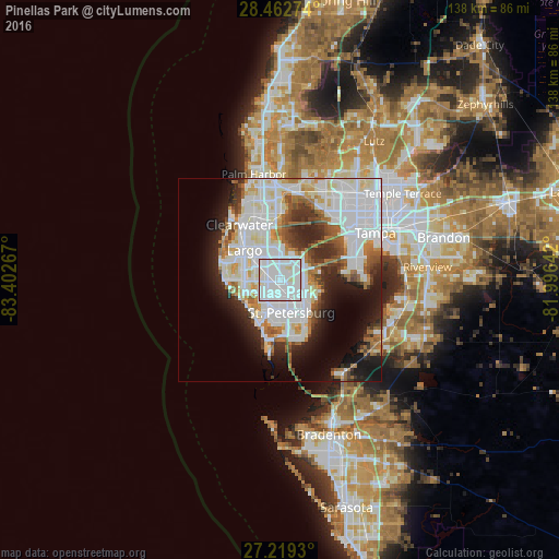

Analysis of Pinellas Park night lights 2016
Square area 10x10 km:
 73.67%
90-99
24.05%80-89
2.27%70-79
0%60-69
0%50-59
0%40-49
0%30-39
0%20-29
0%10-19
0%0-9
0%Square area 50x50 km:
18.61%90-99
11.1%80-89
3.45%70-79
2.47%60-69
4.75%50-59
3.33%40-49
3.19%30-39
3.73%20-29
7.07%10-19
9.83%0-9
32.48%Clear (daylight) street map image can be seen on geolist.org.
Map coordinates:
28° 27' 45.9" North, 83° 24' 9.6" West
27° 50' 34.1" North, 82° 41' 58.3" West
27° 13' 9.5" North, 81° 59' 47.1" West
Some cities around Pinellas Park sort by population:
• St. Petersburg
8.2 km =5.1 mi,  166°
166°
• West and East Lealman
2.7 km =1.7 mi,  158°
158°
• Lealman
3.1 km =1.9 mi,  140°
140°
• Seminole
9 km =5.6 mi,  267°
267°
• Gulfport
10.5 km =6.5 mi,  182°
182°
• South Highpoint
8.4 km =5.2 mi,  350°
350°
• South Pasadena
10.5 km =6.5 mi,  200°
200°
• Kenneth City
3.6 km =2.2 mi,  213°
213°
4168630 (p: 51,617)
Sources (retrieved 2019-11-25):
» NASA, Earths city lights 1995
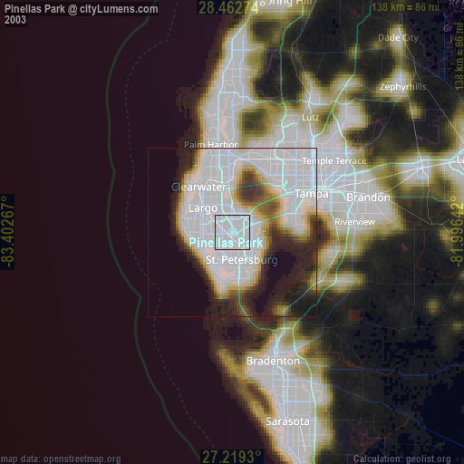
» NASA city lights 2003
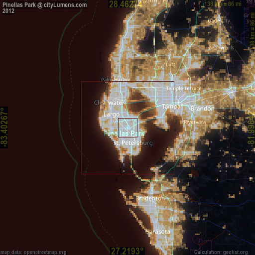
» Earth at Night: Flat Maps 2012, 2016