Lancaster night lights from space
Night Light of Lancaster (California) from space (United States) Src. Average luminocity for 10x10km area is 75.2766% and for 50x50km: 15.6049%.
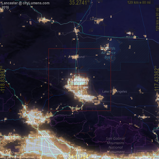
Analysis of Lancaster night lights 2016
Square area 10x10 km:
 29.3%
29.3%90-99
24.91%80-89
4.95%70-79
5.49%60-69
4.95%50-59
4.4%40-49
5.86%30-39
3.3%20-29
13.55%10-19
3.3%0-9
0%Square area 50x50 km:
2.73%90-99
2.78%80-89
1.22%70-79
1.52%60-69
3.54%50-59
2.04%40-49
2.39%30-39
2.08%20-29
3.79%10-19
7.4%0-9
70.5%Clear (daylight) street map image can be seen on geolist.org.
Map coordinates:
35° 16' 26.8" North, 118° 50' 23.5" West
34° 41' 52.9" North, 118° 8' 12.3" West
34° 7' 4.6" North, 117° 26' 1" West
Some cities around Lancaster sort by population:
• Palmdale
13.3 km =8.3 mi,  171°
171°
• Castaic
50.2 km =31.2 mi,  242°
242°
• Rosamond
18.6 km =11.6 mi,  352°
352°
• California City
49.5 km =30.8 mi,  16°
16°
• Lake Los Angeles
29.8 km =18.5 mi,  108°
108°
• Sun Village
22.5 km =14 mi,  133°
133°
• Quartz Hill
9.5 km =5.9 mi,  231°
231°
• Acton
25.9 km =16.1 mi,  192°
192°
5364940 (p: 161,103)
Sources (retrieved 2019-11-25):
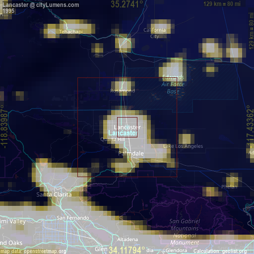
» NASA, Earths city lights 1995
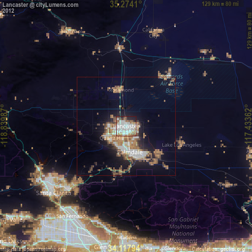
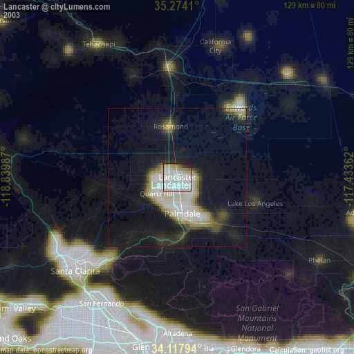
» NASA city lights 2003
» Earth at Night: Flat Maps 2012, 2016