Watauga night lights from space
Night Light of Watauga (Texas) from space (United States) Src. Average luminocity for 10x10km area is 95.6626% and for 50x50km: 77.772%.
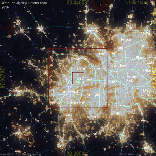
Analysis of Watauga night lights 2016
Square area 10x10 km:
 38.64%
90-99
41.26%80-89
19.58%70-79
0.52%60-69
0%50-59
0%40-49
0%30-39
0%20-29
0%10-19
0%0-9
0%Square area 50x50 km:
23.91%90-99
23.35%80-89
13.87%70-79
9.92%60-69
7.2%50-59
5.19%40-49
3.95%30-39
3.57%20-29
4.6%10-19
3.05%0-9
1.39%Clear (daylight) street map image can be seen on geolist.org.
Map coordinates:
33° 26' 47.7" North, 97° 57' 28.3" West
32° 51' 28.5" North, 97° 15' 17.1" West
32° 15' 55.1" North, 96° 33' 5.8" West
Some cities around Watauga sort by population:
• North Richland Hills
3.6 km =2.2 mi,  137°
137°
• Bedford
10.5 km =6.5 mi,  98°
98°
• Keller
8.5 km =5.3 mi,  1°
1°
• Haltom City
6.6 km =4.1 mi,  191°
191°
• Hurst
8.7 km =5.4 mi,  115°
115°
• Colleyville
9.7 km =6 mi,  74°
74°
• Saginaw
10.2 km =6.3 mi,  271°
271°
• Richland Hills
5.3 km =3.3 mi,  151°
151°
4740214 (p: 24,525)
Sources (retrieved 2019-11-25):
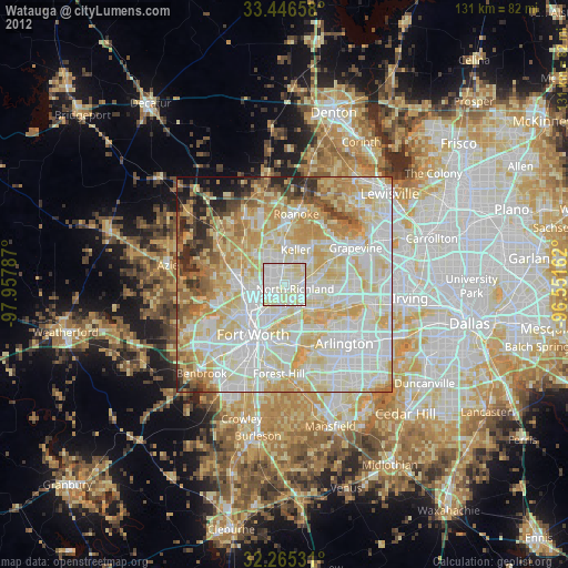
» Earth at Night: Flat Maps 2012, 2016