Saginaw night lights from space
Night Light of Saginaw (Texas) from space (United States) Src. Average luminocity for 10x10km area is 88.3663% and for 50x50km: 63.7423%.
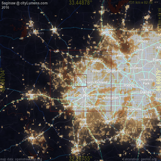
Analysis of Saginaw night lights 2016
Square area 10x10 km:
 31.68%
90-99
28.39%80-89
13%70-79
14.29%60-69
9.16%50-59
2.75%40-49
0.37%30-39
0.37%20-29
0%10-19
0%0-9
0%Square area 50x50 km:
15.65%90-99
16.55%80-89
12.27%70-79
8.48%60-69
7.09%50-59
5.94%40-49
5.26%30-39
5.48%20-29
7.08%10-19
9.16%0-9
7.03%Clear (daylight) street map image can be seen on geolist.org.
Map coordinates:
33° 26' 55.6" North, 98° 4' 1.3" West
32° 51' 36.5" North, 97° 21' 50.1" West
32° 16' 3.2" North, 96° 39' 38.8" West
Some cities around Saginaw sort by population:
• North Richland Hills
12.9 km =8 mi,  102°
102°
• Keller
13.4 km =8.3 mi,  51°
51°
• Haltom City
11.1 km =6.9 mi,  127°
127°
• Watauga
10.2 km =6.3 mi,  91°
91°
• White Settlement
14.2 km =8.8 mi,  218°
218°
• Richland Hills
13.6 km =8.5 mi,  111°
111°
• River Oaks
9.7 km =6 mi,  197°
197°
• Eagle Mountain
8.4 km =5.2 mi,  296°
296°
4724642 (p: 22,079)
Sources (retrieved 2019-11-25):
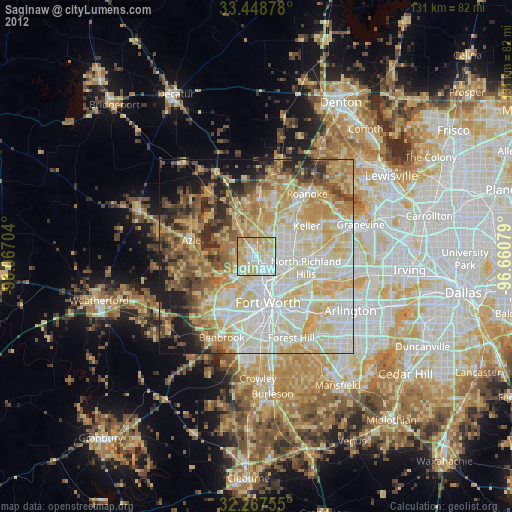
» Earth at Night: Flat Maps 2012, 2016