Richland Hills night lights from space
Night Light of Richland Hills (Texas) from space (United States) Src. Average luminocity for 10x10km area is 92.1241% and for 50x50km: 81.9524%.
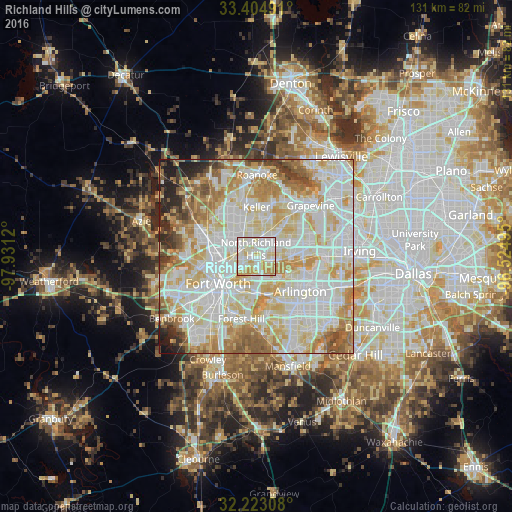
Analysis of Richland Hills night lights 2016
Square area 10x10 km:
 32.87%
90-99
32.69%80-89
19.76%70-79
12.41%60-69
2.27%50-59
0%40-49
0%30-39
0%20-29
0%10-19
0%0-9
0%Square area 50x50 km:
25.59%90-99
25.33%80-89
14.28%70-79
10.84%60-69
8.61%50-59
5.71%40-49
2.89%30-39
2.24%20-29
2.72%10-19
1.71%0-9
0.08%Clear (daylight) street map image can be seen on geolist.org.
Map coordinates:
33° 24' 17.7" North, 97° 55' 52.3" West
32° 48' 57.5" North, 97° 13' 41.1" West
32° 13' 23.1" North, 96° 31' 29.8" West
Some cities around Richland Hills sort by population:
• Fort Worth
13.3 km =8.3 mi,  220°
220°
• North Richland Hills
2 km =1.2 mi,  357°
357°
• Bedford
8.5 km =5.3 mi,  68°
68°
• Keller
13.4 km =8.3 mi,  350°
350°
• Haltom City
4.3 km =2.7 mi,  244°
244°
• Hurst
5.4 km =3.4 mi,  81°
81°
• Colleyville
9.9 km =6.2 mi,  43°
43°
• Watauga
5.3 km =3.3 mi,  331°
331°
4722668 (p: 8,098)
Sources (retrieved 2019-11-25):
» Earth at Night: Flat Maps 2012, 2016