Kaysville night lights from space
Night Light of Kaysville (Utah) from space (United States) Src. Average luminocity for 10x10km area is 51.199% and for 50x50km: 16.3408%.
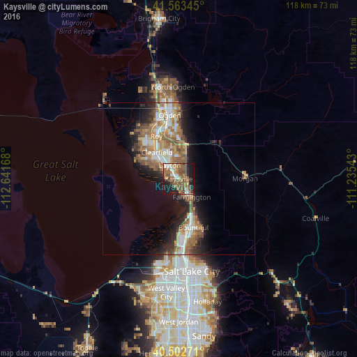
Analysis of Kaysville night lights 2016
Square area 10x10 km:
 6.29%
6.29%90-99
5.95%80-89
3.57%70-79
6.8%60-69
14.46%50-59
19.22%40-49
11.56%30-39
2.55%20-29
10.88%10-19
17.35%0-9
1.36%Square area 50x50 km:
2.4%90-99
2.68%80-89
1.55%70-79
2.55%60-69
3.51%50-59
3.63%40-49
1.94%30-39
1.82%20-29
3.96%10-19
7.09%0-9
68.87%Clear (daylight) street map image can be seen on geolist.org.
Map coordinates:
41° 33' 48.4" North, 112° 38' 30" West
41° 2' 6.8" North, 111° 56' 18.8" West
40° 30' 9.8" North, 111° 14' 7.5" West
Some cities around Kaysville sort by population:
• Layton
3.9 km =2.4 mi,  315°
315°
• Clearfield
11.2 km =7 mi, 318°
• Syracuse
12.2 km =7.6 mi,  299°
299°
• Farmington
7.4 km =4.6 mi,  144°
144°
• Centerville
14.2 km =8.8 mi,  156°
156°
• South Weber
10.8 km =6.7 mi,  3°
3°
• Fruit Heights
3.1 km =1.9 mi,  96°
96°
• Sunset
13.7 km =8.5 mi,  325°
325°
5776715 (p: 30,472)
Sources (retrieved 2019-11-25):
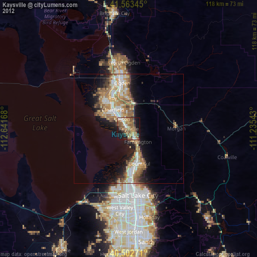
» Earth at Night: Flat Maps 2012, 2016