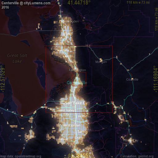
Centerville night lights from space
Night Light of Centerville (Utah) from space (United States) Src. Average luminocity for 10x10km area is 41.5833% and for 50x50km: 21.3213%.
Analysis of Centerville night lights 2016
Square area 10x10 km:
 6.46%
6.46%90-99
7.82%80-89
3.57%70-79
7.48%60-69
6.46%50-59
7.48%40-49
3.4%30-39
4.76%20-29
16.5%10-19
21.94%0-9
14.12%Square area 50x50 km:
5.52%90-99
4.61%80-89
1.77%70-79
2.58%60-69
3.28%50-59
3.21%40-49
1.9%30-39
1.78%20-29
4.09%10-19
7.49%0-9
63.78%Clear (daylight) street map image can be seen on geolist.org.
Map coordinates:
41° 26' 49.8" North, 112° 34' 31" West
40° 55' 4.8" North, 111° 52' 19.8" West
40° 23' 4.4" North, 111° 10' 8.5" West
Some cities around Centerville sort by population:
• Salt Lake City
17.6 km =10.9 mi,  185°
185°
• Bountiful
3.3 km =2.1 mi, 192°
• Kaysville
14.2 km =8.8 mi,  336°
336°
• Farmington
7.1 km =4.4 mi,  349°
349°
• North Salt Lake
8.3 km =5.2 mi,  200°
200°
• Woods Cross
5.4 km =3.4 mi, 198°
• Fruit Heights
12.9 km =8 mi, 348°
• West Bountiful
3.7 km =2.3 mi,  222°
222°
5772654 (p: 16,877)
Sources (retrieved 2019-11-25):
» Earth at Night: Flat Maps 2012, 2016