Farmington night lights from space
Night Light of Farmington (Utah) from space (United States) Src. Average luminocity for 10x10km area is 30.2092% and for 50x50km: 18.0903%.
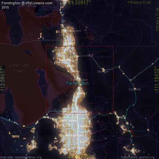
Analysis of Farmington night lights 2016
Square area 10x10 km:
 1.87%
1.87%90-99
2.21%80-89
1.53%70-79
2.55%60-69
7.14%50-59
11.39%40-49
6.46%30-39
4.76%20-29
10.54%10-19
31.12%0-9
20.41%Square area 50x50 km:
3.34%90-99
3.14%80-89
1.68%70-79
2.64%60-69
3.62%50-59
3.68%40-49
1.99%30-39
1.78%20-29
4.07%10-19
7.15%0-9
66.9%Clear (daylight) street map image can be seen on geolist.org.
Map coordinates:
41° 30' 33" North, 112° 35' 26.1" West
40° 58' 49.8" North, 111° 53' 14.8" West
40° 26' 51.2" North, 111° 11' 3.6" West
Some cities around Farmington sort by population:
• Layton
11.3 km =7 mi,  321°
321°
• Bountiful
10.1 km =6.3 mi,  176°
176°
• Kaysville
7.4 km =4.6 mi, 324°
• North Salt Lake
14.8 km =9.2 mi,  186°
186°
• Centerville
7.1 km =4.4 mi,  169°
169°
• Woods Cross
12.1 km =7.5 mi, 181°
• Fruit Heights
5.9 km =3.7 mi,  347°
347°
• West Bountiful
9.7 km =6 mi, 187°
5774662 (p: 22,566)
Sources (retrieved 2019-11-25):
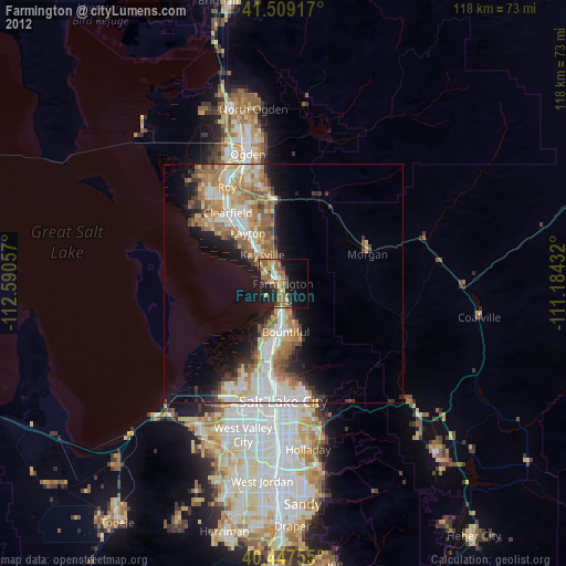
» Earth at Night: Flat Maps 2012, 2016