Clearfield night lights from space
Night Light of Clearfield (Utah) from space (United States) Src. Average luminocity for 10x10km area is 77.1445% and for 50x50km: 15.8874%.
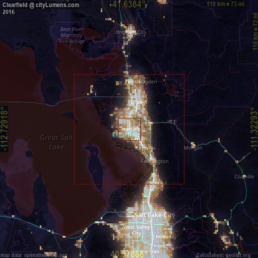
Analysis of Clearfield night lights 2016
Square area 10x10 km:
 17.53%
90-99
20.29%80-89
9.58%70-79
14.12%60-69
17.21%50-59
13.8%40-49
4.22%30-39
1.46%20-29
1.3%10-19
0.49%0-9
0%Square area 50x50 km:
2.17%90-99
2.39%80-89
1.41%70-79
2.64%60-69
3.44%50-59
3.92%40-49
2.29%30-39
1.73%20-29
3.65%10-19
6.9%0-9
69.47%Clear (daylight) street map image can be seen on geolist.org.
Map coordinates:
41° 38' 18.2" North, 112° 43' 45" West
41° 6' 38.8" North, 112° 1' 33.8" West
40° 34' 44" North, 111° 19' 22.5" West
Some cities around Clearfield sort by population:
• Layton
7.3 km =4.5 mi,  140°
140°
• Roy
5.7 km =3.5 mi,  359°
359°
• Syracuse
4 km =2.5 mi,  233°
233°
• Clinton
3.8 km =2.4 mi,  327°
327°
• West Point
4.9 km =3 mi,  279°
279°
• Washington Terrace
8 km =5 mi,  31°
31°
• Riverdale
7.6 km =4.7 mi,  14°
14°
• Sunset
2.9 km =1.8 mi,  351°
351°
5772959 (p: 30,653)
Sources (retrieved 2019-11-25):
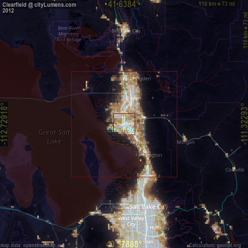
» Earth at Night: Flat Maps 2012, 2016