Kayenta night lights from space
Night Light of Kayenta (Arizona) from space (United States) Src. Average luminocity for 10x10km area is 11.5769% and for 50x50km: 0.6841%.
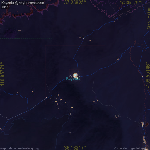
Analysis of Kayenta night lights 2016
Square area 10x10 km:
 0.87%
0.87%90-99
1.92%80-89
1.22%70-79
3.5%60-69
2.97%50-59
0%40-49
0.7%30-39
0.7%20-29
0.7%10-19
0.17%0-9
87.24%Square area 50x50 km:
0.03%90-99
0.08%80-89
0.05%70-79
0.21%60-69
0.15%50-59
0.06%40-49
0.08%30-39
0.14%20-29
0.1%10-19
0.01%0-9
99.09%Clear (daylight) street map image can be seen on geolist.org.
Map coordinates:
37° 17' 21.3" North, 110° 57' 27.8" West
36° 43' 40" North, 110° 15' 16.5" West
36° 9' 43.8" North, 109° 33' 5.3" West
Some cities around Kayenta sort by population:
• Farmington
181.4 km =112.7 mi,  89°
89°
• Gallup
190.3 km =118.2 mi,  134°
134°
• Winslow
193.6 km =120.3 mi,  191°
191°
• Cortez
163.4 km =101.5 mi,  65°
65°
• Tuba City
110.1 km =68.4 mi,  233°
233°
• Shiprock
139.8 km =86.9 mi, 87°
• Kirtland
168.8 km =104.9 mi, 89°
• Page
108.9 km =67.7 mi,  281°
281°
5300830 (p: 5,189)
Sources (retrieved 2019-11-25):
» Earth at Night: Flat Maps 2012, 2016