Farmington night lights from space
Night Light of Farmington (New Mexico) from space (United States) Src. Average luminocity for 10x10km area is 49.3059% and for 50x50km: 8.1109%.
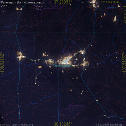
Analysis of Farmington night lights 2016
Square area 10x10 km:
 11.01%
90-99
13.29%80-89
4.72%70-79
6.99%60-69
4.37%50-59
2.8%40-49
5.94%30-39
3.32%20-29
16.26%10-19
26.4%0-9
4.9%Square area 50x50 km:
0.77%90-99
0.88%80-89
0.61%70-79
1.69%60-69
1.11%50-59
0.76%40-49
1.62%30-39
1.16%20-29
2.07%10-19
7.04%0-9
82.3%Clear (daylight) street map image can be seen on geolist.org.
Map coordinates:
37° 17' 22.3" North, 108° 55' 18.6" West
36° 43' 41" North, 108° 13' 7.3" West
36° 9' 44.8" North, 107° 30' 56.1" West
Some cities around Farmington sort by population:
• Gallup
141.5 km =87.9 mi,  199°
199°
• Durango
67.9 km =42.2 mi,  26°
26°
• Cortez
76.3 km =47.4 mi,  334°
334°
• Shiprock
42.2 km =26.2 mi,  278°
278°
• Kirtland
12.6 km =7.8 mi,  273°
273°
• Bloomfield
21 km =13 mi,  95°
95°
• Aztec
22.7 km =14.1 mi,  62°
62°
• Lee Acres
16.5 km =10.3 mi, 101°
5467328 (p: 42,871)
Sources (retrieved 2019-11-25):
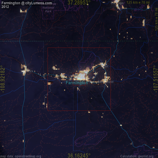
» Earth at Night: Flat Maps 2012, 2016