Cortez night lights from space
Night Light of Cortez (Colorado) from space (United States) Src. Average luminocity for 10x10km area is 17.2338% and for 50x50km: 1.1324%.
Analysis of Cortez night lights 2016
Square area 10x10 km:
 1.79%
1.79%90-99
1.46%80-89
2.6%70-79
4.22%60-69
2.27%50-59
1.46%40-49
1.62%30-39
3.41%20-29
1.14%10-19
7.47%0-9
72.56%Square area 50x50 km:
0.07%90-99
0.06%80-89
0.14%70-79
0.36%60-69
0.14%50-59
0.16%40-49
0.14%30-39
0.2%20-29
0.09%10-19
0.36%0-9
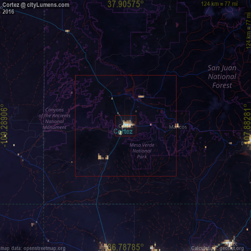
98.27%Clear (daylight) street map image can be seen on geolist.org.
Map coordinates:
37° 54' 20.7" North, 109° 17' 20.6" West
37° 20' 56" North, 108° 35' 9.3" West
36° 47' 16.3" North, 107° 52' 58.1" West
Some cities around Cortez sort by population:
• Farmington
76.3 km =47.4 mi,  154°
154°
• Montrose
140.2 km =87.1 mi,  26°
26°
• Durango
63 km =39.1 mi,  97°
97°
• Shiprock
63.3 km =39.3 mi,  188°
188°
• Kirtland
71.2 km =44.2 mi,  163°
163°
• Bloomfield
88.8 km =55.2 mi,  143°
143°
• Aztec
78.7 km =48.9 mi, 138°
• Lee Acres
87.2 km =54.2 mi, 145°
5418104 (p: 8,715)
Sources (retrieved 2019-11-25):
» Earth at Night: Flat Maps 2012, 2016