Tuba City night lights from space
Night Light of Tuba City (Arizona) from space (United States) Src. Average luminocity for 10x10km area is 15.9725% and for 50x50km: 0.6394%.
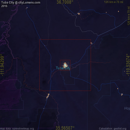
Analysis of Tuba City night lights 2016
Square area 10x10 km:
 1.47%
1.47%90-99
1.47%80-89
0.92%70-79
3.66%60-69
4.76%50-59
1.65%40-49
2.2%30-39
2.93%20-29
0%10-19
2.2%0-9
78.75%Square area 50x50 km:
0.05%90-99
0.05%80-89
0.03%70-79
0.14%60-69
0.18%50-59
0.06%40-49
0.1%30-39
0.11%20-29
0%10-19
0.11%0-9
99.16%Clear (daylight) street map image can be seen on geolist.org.
Map coordinates:
36° 42' 2.9" North, 111° 56' 34.8" West
36° 8' 6" North, 111° 14' 23.5" West
35° 33' 54.3" North, 110° 32' 12.3" West
Some cities around Tuba City sort by population:
• Flagstaff
110.6 km =68.7 mi,  199°
199°
• West Sedona
150 km =93.2 mi, 199°
• Sedona
148.4 km =92.2 mi, 198°
• Winslow
132.9 km =82.6 mi,  158°
158°
• Page
88.8 km =55.2 mi,  347°
347°
• Big Park
157.9 km =98.1 mi, 197°
• Village of Oak Creek (Big Park)
157.8 km =98.1 mi, 197°
• Kayenta
110.1 km =68.4 mi,  53°
53°
5318279 (p: 8,611)
Sources (retrieved 2019-11-25):
» Earth at Night: Flat Maps 2012, 2016