Page night lights from space
Night Light of Page (Arizona) from space (United States) Src. Average luminocity for 10x10km area is 17.8247% and for 50x50km: 0.9673%.
Analysis of Page night lights 2016
Square area 10x10 km:
 1.79%
1.79%90-99
2.76%80-89
0.49%70-79
6.33%60-69
2.76%50-59
1.14%40-49
0.65%30-39
0.97%20-29
1.62%10-19
11.2%0-9
70.29%Square area 50x50 km:
0.07%90-99
0.12%80-89
0.03%70-79
0.29%60-69
0.2%50-59
0.1%40-49
0.08%30-39
0.09%20-29
0.1%10-19
0.47%0-9
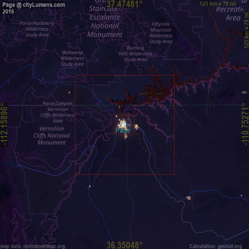
98.45%Clear (daylight) street map image can be seen on geolist.org.
Map coordinates:
37° 28' 29.3" North, 112° 9' 32.3" West
36° 54' 53" North, 111° 27' 21" West
36° 21' 1.7" North, 110° 45' 9.8" West
Some cities around Page sort by population:
• Saint George
190.1 km =118.1 mi,  276°
276°
• Flagstaff
191.7 km =119.1 mi,  185°
185°
• Cedar City
165.4 km =102.8 mi,  300°
300°
• Washington
183.8 km =114.2 mi, 277°
• Hurricane
165.3 km =102.7 mi, 280°
• Tuba City
88.8 km =55.2 mi,  167°
167°
• Enoch
168.3 km =104.6 mi, 304°
• Kayenta
108.9 km =67.7 mi,  101°
101°
5307778 (p: 7,490)
Sources (retrieved 2019-11-25):
» Earth at Night: Flat Maps 2012, 2016