Kannapolis night lights from space
Night Light of Kannapolis (North Carolina) from space (United States) Src. Average luminocity for 10x10km area is 74.2527% and for 50x50km: 44.0692%.
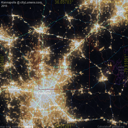
Analysis of Kannapolis night lights 2016
Square area 10x10 km:
 13.92%
90-99
13%80-89
12.82%70-79
16.67%60-69
23.26%50-59
10.81%40-49
6.59%30-39
2.2%20-29
0.73%10-19
0%0-9
0%Square area 50x50 km:
7.13%90-99
7.5%80-89
8.28%70-79
8.51%60-69
8.03%50-59
4.87%40-49
4.66%30-39
6.76%20-29
7.45%10-19
10.42%0-9
26.38%Clear (daylight) street map image can be seen on geolist.org.
Map coordinates:
36° 3' 28.2" North, 81° 19' 29.5" West
35° 29' 14.5" North, 80° 37' 18.2" West
34° 54' 46.1" North, 79° 55' 7" West
Some cities around Kannapolis sort by population:
• Concord
9.5 km =5.9 mi,  157°
157°
• Huntersville
21.8 km =13.5 mi,  246°
246°
• Mooresville
20.2 km =12.6 mi,  302°
302°
• Salisbury
24.4 km =15.2 mi,  33°
33°
• Cornelius
21.6 km =13.4 mi,  269°
269°
• Harrisburg
18.5 km =11.5 mi,  190°
190°
• Davidson
19.7 km =12.2 mi, 274°
• Lake Norman of Catawba
32.5 km =20.2 mi,  289°
289°
4474040 (p: 46,144)
Sources (retrieved 2019-11-25):
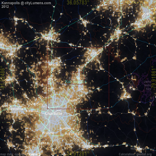
» Earth at Night: Flat Maps 2012, 2016