Concord night lights from space
Night Light of Concord (North Carolina) from space (United States) Src. Average luminocity for 10x10km area is 74.6429% and for 50x50km: 42.5072%.
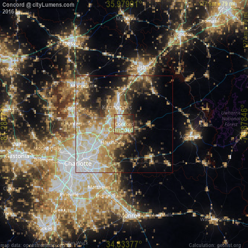
Analysis of Concord night lights 2016
Square area 10x10 km:
 15.2%
15.2%90-99
17.03%80-89
13.37%70-79
21.06%60-69
14.1%50-59
2.2%40-49
5.68%30-39
5.13%20-29
5.49%10-19
0.73%0-9
0%Square area 50x50 km:
8.24%90-99
7.39%80-89
8.13%70-79
7.46%60-69
7.21%50-59
4.09%40-49
4.06%30-39
6.28%20-29
6.49%10-19
9.81%0-9
30.83%Clear (daylight) street map image can be seen on geolist.org.
Map coordinates:
35° 58' 47.7" North, 81° 17' 5" West
35° 24' 32" North, 80° 34' 53.7" West
34° 50' 1.6" North, 79° 52' 42.5" West
Some cities around Concord sort by population:
• Huntersville
23.7 km =14.7 mi,  270°
270°
• Kannapolis
9.5 km =5.9 mi,  337°
337°
• Mooresville
28.5 km =17.7 mi,  313°
313°
• Salisbury
30.7 km =19.1 mi,  18°
18°
• Cornelius
26.7 km =16.6 mi,  288°
288°
• Mint Hill
26.2 km =16.3 mi,  193°
193°
• Harrisburg
11.7 km =7.3 mi,  216°
216°
• Davidson
25.5 km =15.8 mi, 294°
4461574 (p: 87,696)
Sources (retrieved 2019-11-25):
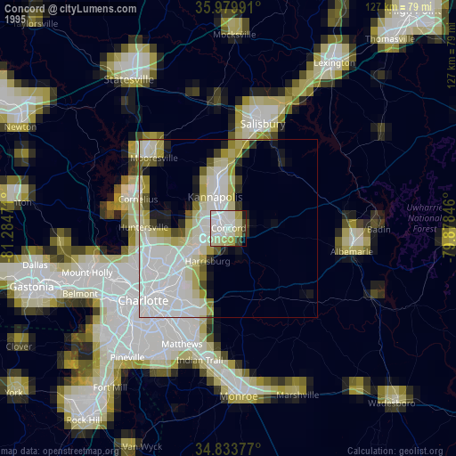
» NASA, Earths city lights 1995
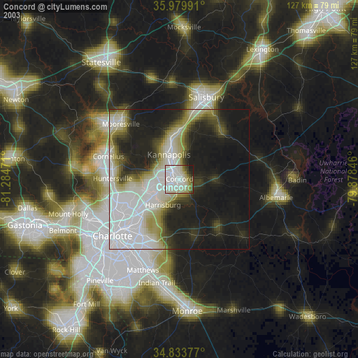
» NASA city lights 2003
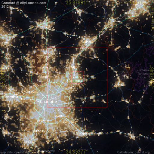
» Earth at Night: Flat Maps 2012, 2016