Jonesboro night lights from space
Night Light of Jonesboro (Arkansas) from space (United States) Src. Average luminocity for 10x10km area is 77.8287% and for 50x50km: 11.5312%.
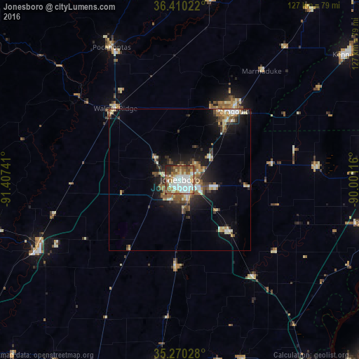
Analysis of Jonesboro night lights 2016
Square area 10x10 km:
 24.3%
24.3%90-99
23.78%80-89
6.99%70-79
7.52%60-69
11.89%50-59
11.36%40-49
5.07%30-39
4.37%20-29
4.37%10-19
0.35%0-9
0%Square area 50x50 km:
1.62%90-99
2.14%80-89
1.29%70-79
1.18%60-69
1.73%50-59
2.01%40-49
1.47%30-39
1.6%20-29
2.77%10-19
6.79%0-9
77.4%Clear (daylight) street map image can be seen on geolist.org.
Map coordinates:
36° 24' 36.8" North, 91° 24' 26.7" West
35° 50' 32.3" North, 90° 42' 15.4" West
35° 16' 13" North, 90° 0' 4.2" West
Some cities around Jonesboro sort by population:
• Paragould
30.4 km =18.9 mi,  37°
37°
• Blytheville
71.4 km =44.4 mi,  82°
82°
• Kennett
72.9 km =45.3 mi,  53°
53°
• Wynne
69.1 km =42.9 mi,  186°
186°
• Newport
58.4 km =36.3 mi,  243°
243°
• Osceola
68 km =42.3 mi,  102°
102°
• Trumann
25.8 km =16 mi,  136°
136°
• Pocahontas
52.4 km =32.6 mi,  332°
332°
4116834 (p: 73,907)
Sources (retrieved 2019-11-25):
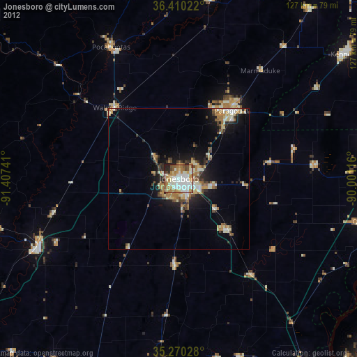
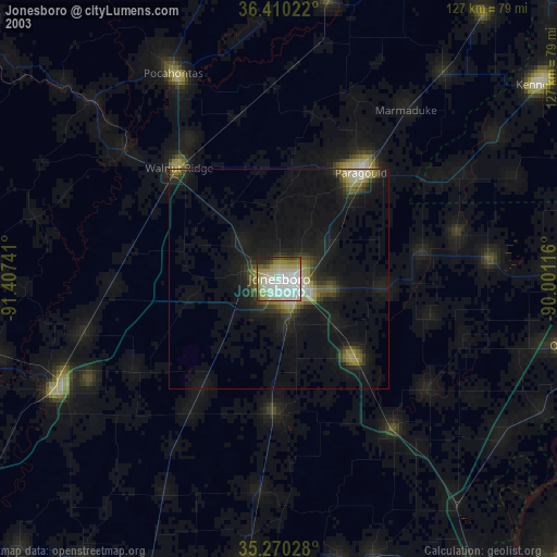
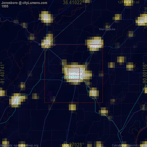
» NASA, Earths city lights 1995
» NASA city lights 2003
» Earth at Night: Flat Maps 2012, 2016