Trumann night lights from space
Night Light of Trumann (Arkansas) from space (United States) Src. Average luminocity for 10x10km area is 15.8182% and for 50x50km: 9.2916%.
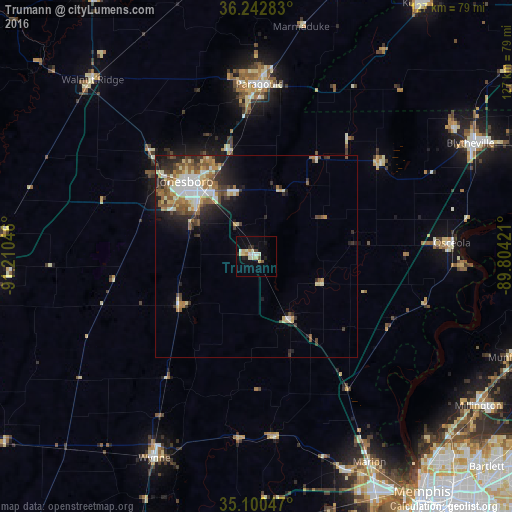
Analysis of Trumann night lights 2016
Square area 10x10 km:
 1.75%
1.75%90-99
4.55%80-89
3.15%70-79
1.05%60-69
0.7%50-59
1.22%40-49
0.87%30-39
0.17%20-29
3.5%10-19
5.24%0-9
77.8%Square area 50x50 km:
1.36%90-99
1.84%80-89
1.07%70-79
0.96%60-69
1.43%50-59
1.78%40-49
1.17%30-39
1.37%20-29
2.22%10-19
3.43%0-9
83.36%Clear (daylight) street map image can be seen on geolist.org.
Map coordinates:
36° 14' 34.2" North, 91° 12' 37.7" West
35° 40' 25.3" North, 90° 30' 26.4" West
35° 6' 1.7" North, 89° 48' 15.2" West
Some cities around Trumann sort by population:
• Jonesboro
25.8 km =16 mi,  316°
316°
• Paragould
42.8 km =26.6 mi,  1°
1°
• West Memphis
65.5 km =40.7 mi,  153°
153°
• Blytheville
60.1 km =37.3 mi,  62°
62°
• Marion
58.3 km =36.2 mi, 151°
• Millington
66.4 km =41.3 mi,  123°
123°
• Wynne
56 km =34.8 mi,  206°
206°
• Osceola
48.7 km =30.3 mi,  85°
85°
4133933 (p: 7,145)
Sources (retrieved 2019-11-25):
» Earth at Night: Flat Maps 2012, 2016