Paragould night lights from space
Night Light of Paragould (Arkansas) from space (United States) Src. Average luminocity for 10x10km area is 56.1465% and for 50x50km: 7.6935%.
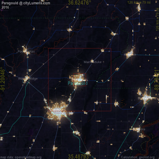
Analysis of Paragould night lights 2016
Square area 10x10 km:
 6.96%
6.96%90-99
12.09%80-89
8.79%70-79
9.89%60-69
11.9%50-59
13%40-49
3.85%30-39
4.95%20-29
9.71%10-19
17.58%0-9
1.28%Square area 50x50 km:
0.72%90-99
1.26%80-89
0.94%70-79
0.88%60-69
1.37%50-59
1.46%40-49
0.92%30-39
1.31%20-29
1.89%10-19
5.12%0-9
84.12%Clear (daylight) street map image can be seen on geolist.org.
Map coordinates:
36° 37' 29.1" North, 91° 12' 1.7" West
36° 3' 30.2" North, 90° 29' 50.4" West
35° 29' 16.5" North, 89° 47' 39.2" West
Some cities around Paragould sort by population:
• Jonesboro
30.4 km =18.9 mi,  217°
217°
• Poplar Bluff
78.2 km =48.6 mi,  6°
6°
• Blytheville
54 km =33.6 mi,  105°
105°
• Kennett
44.3 km =27.5 mi,  63°
63°
• Osceola
61.7 km =38.3 mi,  129°
129°
• Trumann
42.8 km =26.6 mi,  181°
181°
• Pocahontas
48.2 km =30 mi,  297°
297°
• Caruthersville
77.1 km =47.9 mi,  78°
78°
4125388 (p: 27,900)
Sources (retrieved 2019-11-25):
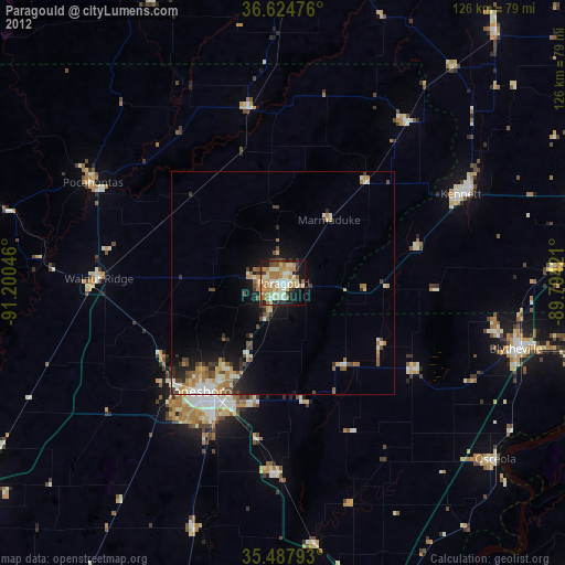
» Earth at Night: Flat Maps 2012, 2016