Johnston night lights from space
Night Light of Johnston (Rhode Island) from space (United States) Src. Average luminocity for 10x10km area is 71.5167% and for 50x50km: 33.9999%.
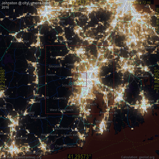
Analysis of Johnston night lights 2016
Square area 10x10 km:
 25%
25%90-99
16.21%80-89
6.36%70-79
8.94%60-69
9.09%50-59
8.33%40-49
6.52%30-39
10.45%20-29
5.15%10-19
3.94%0-9
0%Square area 50x50 km:
6.51%90-99
5.82%80-89
3.48%70-79
4.28%60-69
5.74%50-59
6.35%40-49
5.97%30-39
5.44%20-29
8.32%10-19
9.55%0-9
38.53%Clear (daylight) street map image can be seen on geolist.org.
Map coordinates:
42° 20' 37.3" North, 72° 12' 35.6" West
41° 49' 18.7" North, 71° 30' 24.3" West
41° 17' 44.6" North, 70° 48' 13.1" West
Some cities around Johnston sort by population:
• Providence
7.8 km =4.8 mi,  88°
88°
• Cranston
7.4 km =4.6 mi,  129°
129°
• Pawtucket
12.1 km =7.5 mi,  58°
58°
• East Providence
11.4 km =7.1 mi, 94°
• North Providence
4.6 km =2.9 mi,  46°
46°
• Smithfield
11.7 km =7.3 mi,  342°
342°
• North Scituate
6.8 km =4.2 mi,  279°
279°
• Greenville
6.6 km =4.1 mi,  325°
325°
8604682 (p: 29,247)
Sources (retrieved 2019-11-25):
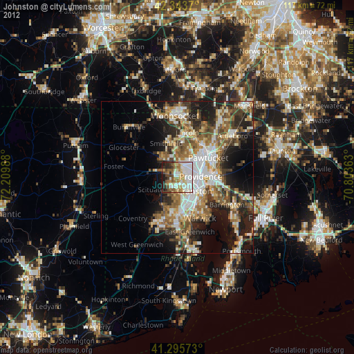
» Earth at Night: Flat Maps 2012, 2016