Cranston night lights from space
Night Light of Cranston (Rhode Island) from space (United States) Src. Average luminocity for 10x10km area is 93.0422% and for 50x50km: 36.3343%.
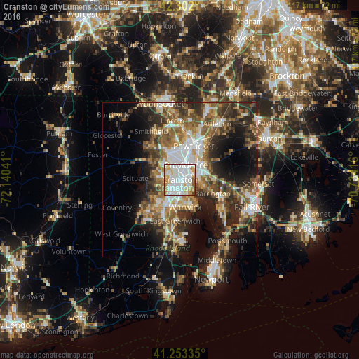
Analysis of Cranston night lights 2016
Square area 10x10 km:
 50.49%
90-99
25.49%80-89
7.63%70-79
11.36%60-69
1.79%50-59
2.44%40-49
0.32%30-39
0.49%20-29
0%10-19
0%0-9
0%Square area 50x50 km:
6.83%90-99
6.02%80-89
3.74%70-79
4.59%60-69
6.04%50-59
6.87%40-49
5.94%30-39
6.01%20-29
9.3%10-19
12.04%0-9
32.63%Clear (daylight) street map image can be seen on geolist.org.
Map coordinates:
42° 18' 7.2" North, 72° 8' 25.5" West
41° 46' 47.4" North, 71° 26' 14.2" West
41° 15' 12.1" North, 70° 44' 3" West
Some cities around Cranston sort by population:
• Providence
5.3 km =3.3 mi,  22°
22°
• Warwick
9 km =5.6 mi,  168°
168°
• East Providence
6.7 km =4.2 mi,  55°
55°
• North Providence
8.2 km =5.1 mi,  342°
342°
• West Warwick
11.6 km =7.2 mi,  217°
217°
• Johnston
7.4 km =4.6 mi,  309°
309°
• Barrington
11.5 km =7.1 mi,  112°
112°
• Seekonk
8.9 km =5.5 mi,  69°
69°
5221659 (p: 81,073)
Sources (retrieved 2019-11-25):
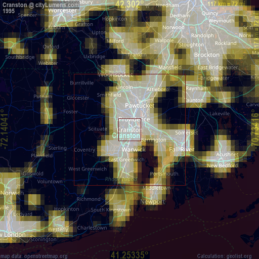
» NASA, Earths city lights 1995
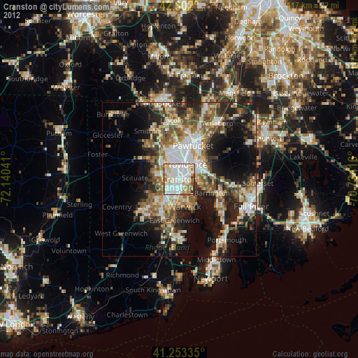
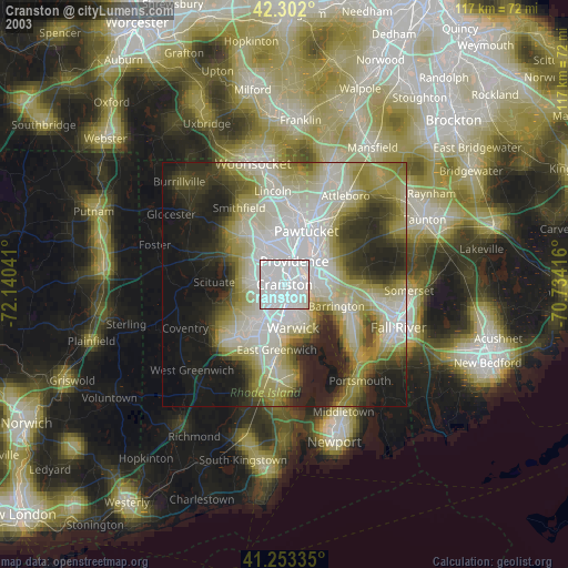
» NASA city lights 2003
» Earth at Night: Flat Maps 2012, 2016