Jefferson City night lights from space
Night Light of Jefferson City (Missouri) from space (United States) Src. Average luminocity for 10x10km area is 53.9545% and for 50x50km: 5.8288%.
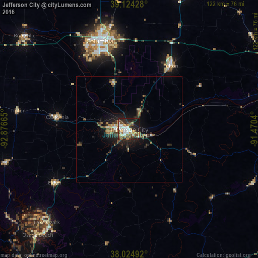
Analysis of Jefferson City night lights 2016
Square area 10x10 km:
 11.69%
90-99
11.2%80-89
3.9%70-79
9.74%60-69
5.19%50-59
9.58%40-49
6.33%30-39
8.93%20-29
15.42%10-19
17.21%0-9
0.81%Square area 50x50 km:
0.66%90-99
0.68%80-89
0.49%70-79
0.8%60-69
0.7%50-59
1.19%40-49
0.87%30-39
1.13%20-29
2.14%10-19
4%0-9
87.35%Clear (daylight) street map image can be seen on geolist.org.
Map coordinates:
39° 7' 27.4" North, 92° 52' 35.9" West
38° 34' 36.1" North, 92° 10' 24.7" West
38° 1' 29.7" North, 91° 28' 13.4" West
Some cities around Jefferson City sort by population:
• Columbia
44 km =27.3 mi,  341°
341°
• Sedalia
92.7 km =57.6 mi,  278°
278°
• Rolla
77.9 km =48.4 mi,  153°
153°
• Fulton
35.8 km =22.2 mi,  33°
33°
• Mexico
70.6 km =43.9 mi,  20°
20°
• Boonville
66.2 km =41.1 mi,  311°
311°
• Warrenton
93.3 km =58 mi,  73°
73°
• Waynesville
83.2 km =51.7 mi,  181°
181°
4392388 (p: 43,169)
Sources (retrieved 2019-11-25):
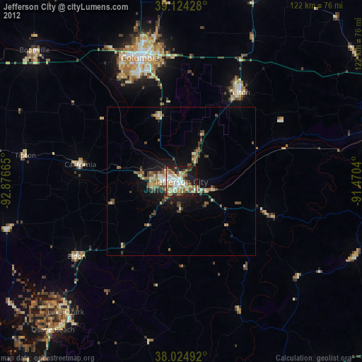
» Earth at Night: Flat Maps 2012, 2016