Columbia night lights from space
Night Light of Columbia (Missouri) from space (United States) Src. Average luminocity for 10x10km area is 81.7273% and for 50x50km: 9.3471%.
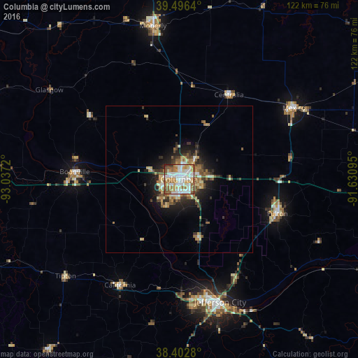
Analysis of Columbia night lights 2016
Square area 10x10 km:
 25.16%
90-99
25.32%80-89
8.28%70-79
11.53%60-69
13.47%50-59
11.85%40-49
1.14%30-39
1.14%20-29
2.11%10-19
0%0-9
0%Square area 50x50 km:
1.27%90-99
1.66%80-89
1.24%70-79
1.18%60-69
1.64%50-59
1.62%40-49
0.89%30-39
1.32%20-29
2.38%10-19
4.66%0-9
82.14%Clear (daylight) street map image can be seen on geolist.org.
Map coordinates:
39° 29' 47" North, 93° 2' 13.9" West
38° 57' 6.2" North, 92° 20' 2.7" West
38° 24' 10.1" North, 91° 37' 51.4" West
Some cities around Columbia sort by population:
• Jefferson City
44 km =27.3 mi,  161°
161°
• Sedalia
82.2 km =51.1 mi,  250°
250°
• Moberly
52.7 km =32.7 mi,  350°
350°
• Marshall
76.9 km =47.8 mi,  284°
284°
• Fulton
35.4 km =22 mi,  109°
109°
• Mexico
45.9 km =28.5 mi,  58°
58°
• Boonville
35.5 km =22.1 mi,  273°
273°
• Macon
88.7 km =55.1 mi, 352°
4381982 (p: 119,108)
Sources (retrieved 2019-11-25):
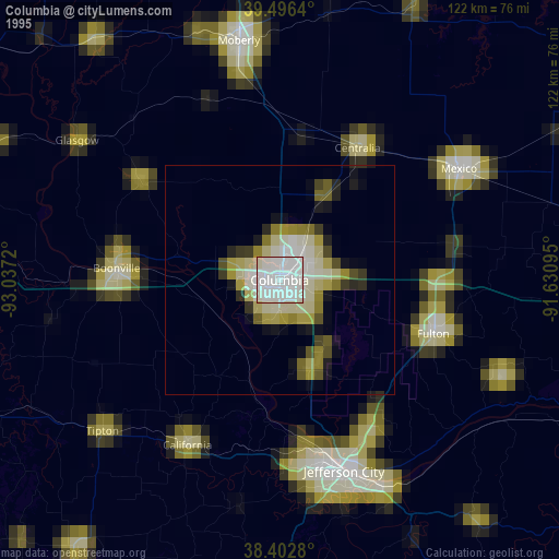
» NASA, Earths city lights 1995
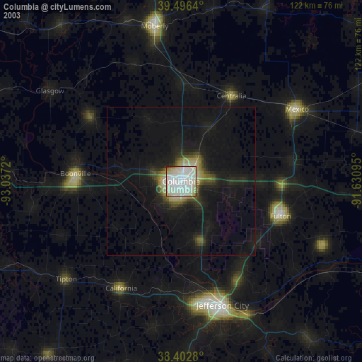
» NASA city lights 2003
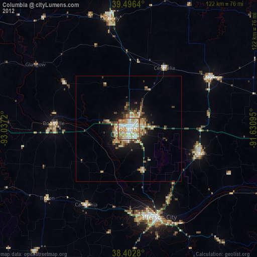
» Earth at Night: Flat Maps 2012, 2016