Sedalia night lights from space
Night Light of Sedalia (Missouri) from space (United States) Src. Average luminocity for 10x10km area is 45.3282% and for 50x50km: 2.8834%.
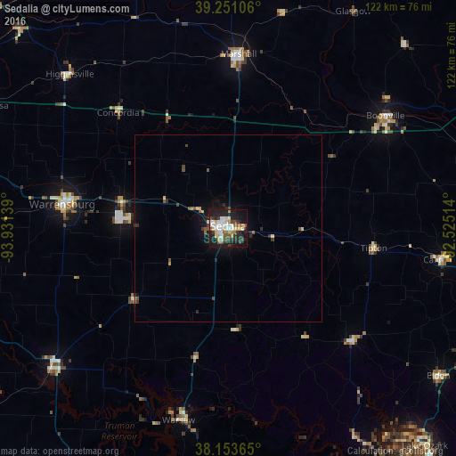
Analysis of Sedalia night lights 2016
Square area 10x10 km:
 8.33%
8.33%90-99
10.88%80-89
6.29%70-79
3.91%60-69
3.57%50-59
6.46%40-49
3.74%30-39
8.16%20-29
14.8%10-19
27.89%0-9
5.95%Square area 50x50 km:
0.33%90-99
0.46%80-89
0.4%70-79
0.22%60-69
0.2%50-59
0.38%40-49
0.49%30-39
0.53%20-29
0.82%10-19
2.31%0-9
93.86%Clear (daylight) street map image can be seen on geolist.org.
Map coordinates:
39° 15' 3.8" North, 93° 55' 53" West
38° 42' 16.1" North, 93° 13' 41.7" West
38° 9' 13.1" North, 92° 31' 30.5" West
Some cities around Sedalia sort by population:
• Columbia
82.2 km =51.1 mi,  70°
70°
• Warrensburg
44.5 km =27.7 mi,  278°
278°
• Marshall
46.6 km =29 mi,  3°
3°
• Clinton
60.7 km =37.7 mi,  232°
232°
• Boonville
51.6 km =32.1 mi,  54°
54°
• Pleasant Hill
90.8 km =56.4 mi, 275°
• Oak Grove
84.9 km =52.8 mi,  293°
293°
• Odessa
70.8 km =44 mi,  297°
297°
4408000 (p: 21,516)
Sources (retrieved 2019-11-25):
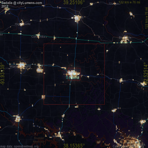
» Earth at Night: Flat Maps 2012, 2016