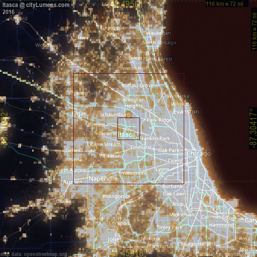
Itasca night lights from space
Night Light of Itasca (Illinois) from space (United States) Src. Average luminocity for 10x10km area is 94.0905% and for 50x50km: 85.3606%.
Analysis of Itasca night lights 2016
Square area 10x10 km:
 38.57%
90-99
33.17%80-89
21.27%70-79
6.98%60-69
0%50-59
0%40-49
0%30-39
0%20-29
0%10-19
0%0-9
0%Square area 50x50 km:
33.93%90-99
22.94%80-89
13.13%70-79
10.18%60-69
8.94%50-59
5.4%40-49
2.52%30-39
0.92%20-29
0.9%10-19
0.6%0-9
0.55%Clear (daylight) street map image can be seen on geolist.org.
Map coordinates:
42° 29' 44.2" North, 88° 42' 37.5" West
41° 58' 30.1" North, 88° 0' 26.2" West
41° 27' 0.6" North, 87° 18' 15" West
Some cities around Itasca sort by population:
• Schaumburg
9 km =5.6 mi,  315°
315°
• Addison
5.1 km =3.2 mi,  162°
162°
• Glendale Heights
8.2 km =5.1 mi,  215°
215°
• Elk Grove Village
4.4 km =2.7 mi,  43°
43°
• Roselle
6.1 km =3.8 mi,  280°
280°
• Bloomingdale
6.4 km =4 mi,  252°
252°
• Bensenville
6 km =3.7 mi,  111°
111°
• Wood Dale
2.7 km =1.7 mi,  118°
118°
4897654 (p: 8,798)
Sources (retrieved 2019-11-25):
» Earth at Night: Flat Maps 2012, 2016