Elk Grove Village night lights from space
Night Light of Elk Grove Village (Illinois) from space (United States) Src. Average luminocity for 10x10km area is 94.719% and for 50x50km: 82.0534%.
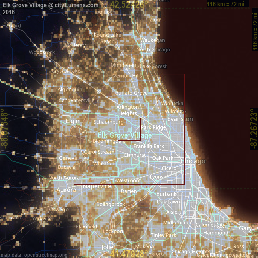
Analysis of Elk Grove Village night lights 2016
Square area 10x10 km:
 43.81%
90-99
33.81%80-89
13.33%70-79
8.89%60-69
0.16%50-59
0%40-49
0%30-39
0%20-29
0%10-19
0%0-9
0%Square area 50x50 km:
33.65%90-99
20.57%80-89
11.8%70-79
9.28%60-69
8.82%50-59
6.35%40-49
3.37%30-39
1.01%20-29
1.29%10-19
1.16%0-9
2.7%Clear (daylight) street map image can be seen on geolist.org.
Map coordinates:
42° 31' 27.3" North, 88° 40' 24.5" West
42° 0' 14.1" North, 87° 58' 13.3" West
41° 28' 45.4" North, 87° 16' 2" West
Some cities around Elk Grove Village sort by population:
• Arlington Heights
9.4 km =5.8 mi,  354°
354°
• Des Plaines
7.9 km =4.9 mi,  65°
65°
• Mount Prospect
7.5 km =4.7 mi,  21°
21°
• Addison
8.2 km =5.1 mi,  190°
190°
• Roselle
9.3 km =5.8 mi,  256°
256°
• Bensenville
6 km =3.7 mi,  155°
155°
• Wood Dale
4.6 km =2.9 mi, 188°
• Itasca
4.4 km =2.7 mi,  223°
223°
4890925 (p: 33,238)
Sources (retrieved 2019-11-25):
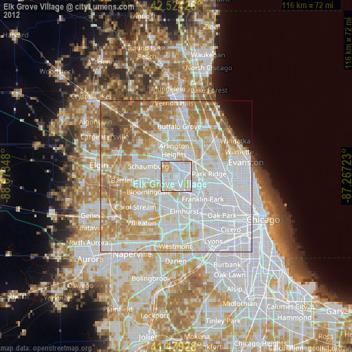
» Earth at Night: Flat Maps 2012, 2016