Addison night lights from space
Night Light of Addison (Illinois) from space (United States) Src. Average luminocity for 10x10km area is 95.7492% and for 50x50km: 88.1701%.
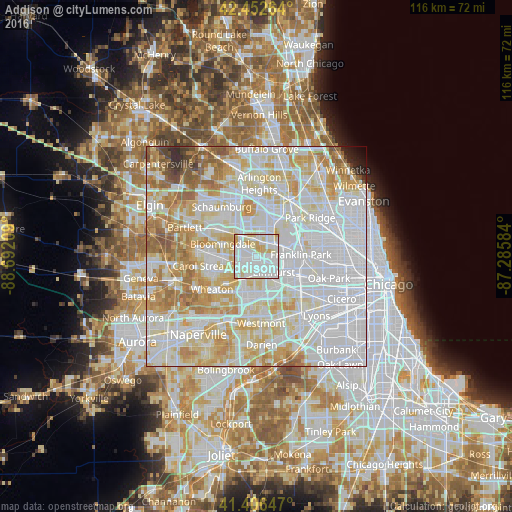
Analysis of Addison night lights 2016
Square area 10x10 km:
 41.9%
41.9%90-99
39.52%80-89
13.81%70-79
4.76%60-69
0%50-59
0%40-49
0%30-39
0%20-29
0%10-19
0%0-9
0%Square area 50x50 km:
38.46%90-99
23.47%80-89
13.86%70-79
10.33%60-69
6.92%50-59
3.7%40-49
1.24%30-39
0.6%20-29
0.81%10-19
0.4%0-9
0.22%Clear (daylight) street map image can be seen on geolist.org.
Map coordinates:
42° 27' 9.5" North, 88° 41' 31.5" West
41° 55' 54.1" North, 87° 59' 20.3" West
41° 24' 23.3" North, 87° 17' 9" West
Some cities around Addison sort by population:
• Elmhurst
5.4 km =3.4 mi,  131°
131°
• Lombard
6 km =3.7 mi,  195°
195°
• Glendale Heights
6.6 km =4.1 mi,  253°
253°
• Villa Park
4.7 km =2.9 mi,  179°
179°
• Bensenville
4.8 km =3 mi,  57°
57°
• Wood Dale
3.6 km =2.2 mi,  13°
13°
• Northlake
7.9 km =4.9 mi,  101°
101°
• Itasca
5.1 km =3.2 mi,  342°
342°
4882920 (p: 37,208)
Sources (retrieved 2019-11-25):
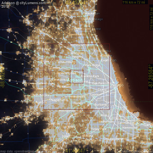
» Earth at Night: Flat Maps 2012, 2016