Schaumburg night lights from space
Night Light of Schaumburg (Illinois) from space (United States) Src. Average luminocity for 10x10km area is 94.7175% and for 50x50km: 79.9685%.
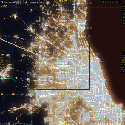
Analysis of Schaumburg night lights 2016
Square area 10x10 km:
 39.52%
90-99
38.89%80-89
13.02%70-79
4.76%60-69
3.81%50-59
0%40-49
0%30-39
0%20-29
0%10-19
0%0-9
0%Square area 50x50 km:
23%90-99
20.88%80-89
12.86%70-79
11.1%60-69
13.2%50-59
10.47%40-49
5.42%30-39
1.92%20-29
0.74%10-19
0.34%0-9
0.06%Clear (daylight) street map image can be seen on geolist.org.
Map coordinates:
42° 33' 12.5" North, 88° 47' 11.5" West
42° 2' 0.1" North, 88° 5' 0.3" West
41° 30' 32.3" North, 87° 22' 49" West
Some cities around Schaumburg sort by population:
• Palatine
9.5 km =5.9 mi,  25°
25°
• Hoffman Estates
1.1 km =0.7 mi,  15°
15°
• Streamwood
7.9 km =4.9 mi,  263°
263°
• Hanover Park
6.3 km =3.9 mi,  233°
233°
• Rolling Meadows
8.1 km =5 mi,  45°
45°
• Roselle
5.4 km =3.4 mi,  176°
176°
• Bloomingdale
8.4 km =5.2 mi, 178°
• Itasca
9 km =5.6 mi,  135°
135°
4910713 (p: 74,693)
Sources (retrieved 2019-11-25):
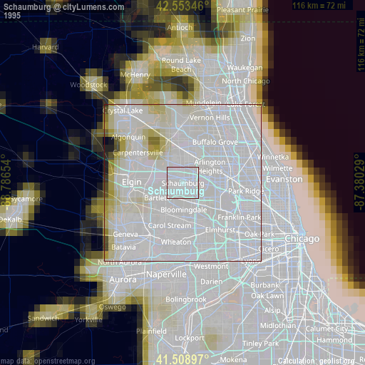
» NASA, Earths city lights 1995
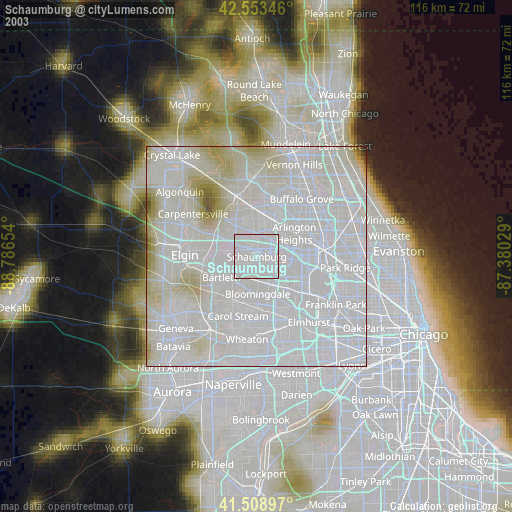
» NASA city lights 2003
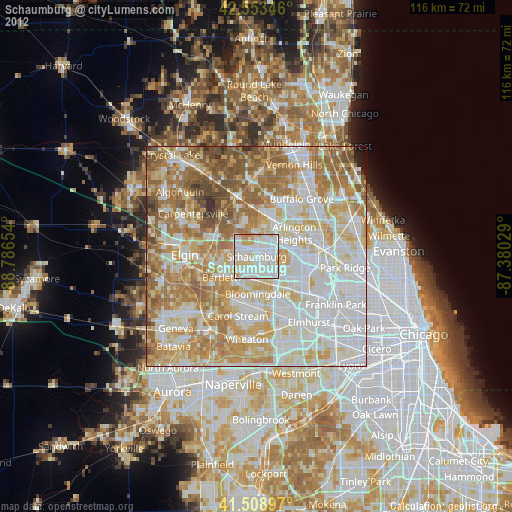
» Earth at Night: Flat Maps 2012, 2016