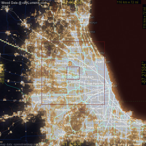
Wood Dale night lights from space
Night Light of Wood Dale (Illinois) from space (United States) Src. Average luminocity for 10x10km area is 96.1841% and for 50x50km: 86.1318%.
Analysis of Wood Dale night lights 2016
Square area 10x10 km:
 46.67%
90-99
36.19%80-89
13.97%70-79
3.17%60-69
0%50-59
0%40-49
0%30-39
0%20-29
0%10-19
0%0-9
0%Square area 50x50 km:
37.18%90-99
22.66%80-89
12.91%70-79
9.58%60-69
7.52%50-59
4.4%40-49
2.11%30-39
0.93%20-29
1.03%10-19
0.73%0-9
0.94%Clear (daylight) street map image can be seen on geolist.org.
Map coordinates:
42° 29' 2.5" North, 88° 40' 55.5" West
41° 57' 48.1" North, 87° 58' 44.3" West
41° 26' 18.2" North, 87° 16' 33" West
Some cities around Wood Dale sort by population:
• Elmhurst
7.8 km =4.8 mi,  155°
155°
• Addison
3.6 km =2.2 mi,  193°
193°
• Elk Grove Village
4.6 km =2.9 mi,  8°
8°
• Bloomingdale
8.5 km =5.3 mi,  265°
265°
• Villa Park
8.2 km =5.1 mi, 185°
• Bensenville
3.3 km =2.1 mi,  106°
106°
• Northlake
8.6 km =5.3 mi,  126°
126°
• Itasca
2.7 km =1.7 mi,  298°
298°
4916975 (p: 13,917)
Sources (retrieved 2019-11-25):
» Earth at Night: Flat Maps 2012, 2016