Roselle night lights from space
Night Light of Roselle (Illinois) from space (United States) Src. Average luminocity for 10x10km area is 92.5762% and for 50x50km: 83.8135%.
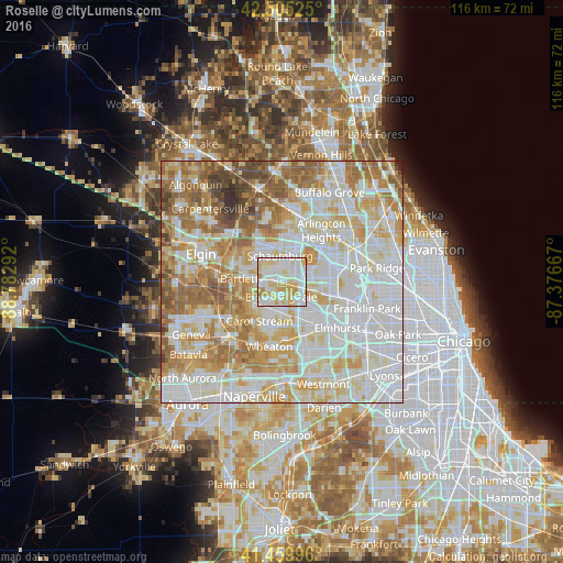
Analysis of Roselle night lights 2016
Square area 10x10 km:
 33.33%
90-99
31.11%80-89
25.24%70-79
9.37%60-69
0.95%50-59
0%40-49
0%30-39
0%20-29
0%10-19
0%0-9
0%Square area 50x50 km:
27.35%90-99
23.61%80-89
14.09%70-79
10.83%60-69
11.33%50-59
7.58%40-49
3.48%30-39
1.22%20-29
0.51%10-19
0.01%0-9
0%Clear (daylight) street map image can be seen on geolist.org.
Map coordinates:
42° 30' 18.9" North, 88° 46' 58.5" West
41° 59' 5.1" North, 88° 4' 47.2" West
41° 27' 35.9" North, 87° 22' 36" West
Some cities around Roselle sort by population:
• Schaumburg
5.4 km =3.4 mi,  356°
356°
• Hoffman Estates
6.5 km =4 mi, 359°
• Bartlett
8.8 km =5.5 mi,  277°
277°
• Hanover Park
5.6 km =3.5 mi,  286°
286°
• Glendale Heights
7.9 km =4.9 mi,  171°
171°
• Bloomingdale
3 km =1.9 mi,  181°
181°
• Wood Dale
8.7 km =5.4 mi,  105°
105°
• Itasca
6.1 km =3.8 mi,  100°
100°
4908173 (p: 22,994)
Sources (retrieved 2019-11-25):
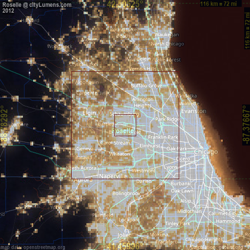
» Earth at Night: Flat Maps 2012, 2016