Islip Terrace night lights from space
Night Light of Islip Terrace (New York) from space (United States) Src. Average luminocity for 10x10km area is 68.4529% and for 50x50km: 41.0989%.
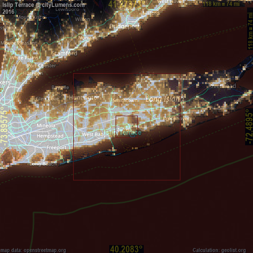
Analysis of Islip Terrace night lights 2016
Square area 10x10 km:
 11.53%
90-99
15.42%80-89
15.58%70-79
12.18%60-69
6.49%50-59
12.01%40-49
11.85%30-39
3.25%20-29
8.77%10-19
2.92%0-9
0%Square area 50x50 km:
7.62%90-99
9.07%80-89
6.13%70-79
8.5%60-69
7.57%50-59
5.93%40-49
3.49%30-39
2.58%20-29
5.33%10-19
6.78%0-9
37%Clear (daylight) street map image can be seen on geolist.org.
Map coordinates:
41° 16' 25.4" North, 73° 53' 44.7" West
40° 44' 35.3" North, 73° 11' 33.4" West
40° 12' 29.9" North, 72° 29' 22.2" West
Some cities around Islip Terrace sort by population:
• Brentwood
6.2 km =3.9 mi,  313°
313°
• Central Islip
5.3 km =3.3 mi,  351°
351°
• Bay Shore
4.9 km =3 mi,  245°
245°
• North Bay Shore
5.9 km =3.7 mi,  262°
262°
• East Islip
1.4 km =0.9 mi,  154°
154°
• Bohemia
7.1 km =4.4 mi,  66°
66°
• Oakdale
4.5 km =2.8 mi,  88°
88°
• West Sayville
8.2 km =5.1 mi,  101°
101°
5122417 (p: 5,389)
Sources (retrieved 2019-11-25):
» Earth at Night: Flat Maps 2012, 2016