Brentwood night lights from space
Night Light of Brentwood (New York) from space (United States) Src. Average luminocity for 10x10km area is 91.5925% and for 50x50km: 43.9107%.
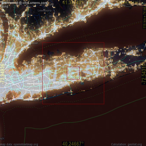

Analysis of Brentwood night lights 2016
Square area 10x10 km:
 27.44%
90-99
34.58%80-89
24.68%70-79
13.31%60-69
0%50-59
0%40-49
0%30-39
0%20-29
0%10-19
0%0-9
0%Square area 50x50 km:
9.66%90-99
10.22%80-89
6.04%70-79
8.33%60-69
7.51%50-59
5.71%40-49
2.99%30-39
2.41%20-29
5.07%10-19
8.23%0-9
33.84%Clear (daylight) street map image can be seen on geolist.org.
Map coordinates:
41° 18' 41.4" North, 73° 56' 57.7" West
40° 46' 52.4" North, 73° 14' 46.4" West
40° 14' 48" North, 72° 32' 35.2" West
Some cities around Brentwood sort by population:
• Central Islip
3.9 km =2.4 mi,  74°
74°
• Deer Park
7.3 km =4.5 mi,  252°
252°
• Bay Shore
6.2 km =3.9 mi,  179°
179°
• Hauppauge
6.2 km =3.9 mi,  36°
36°
• North Bay Shore
5.2 km =3.2 mi,  195°
195°
• Islip
6.5 km =4 mi,  152°
152°
• Bay Wood
5.1 km =3.2 mi,  227°
227°
• Islip Terrace
6.2 km =3.9 mi,  133°
133°
5110077 (p: 60,664)
Sources (retrieved 2019-11-25):
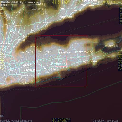
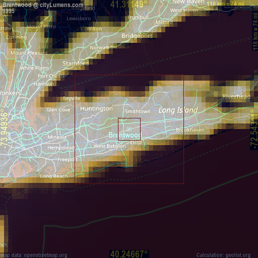
» NASA, Earths city lights 1995
» NASA city lights 2003
» Earth at Night: Flat Maps 2012, 2016