Irvington night lights from space
Night Light of Irvington (New York) from space (United States) Src. Average luminocity for 10x10km area is 62.8861% and for 50x50km: 58.4602%.
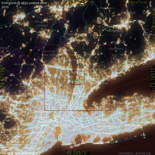
Analysis of Irvington night lights 2016
Square area 10x10 km:
 7.82%
7.82%90-99
7.14%80-89
8.5%70-79
12.93%60-69
23.3%50-59
9.52%40-49
8.16%30-39
22.11%20-29
0.51%10-19
0%0-9
0%Square area 50x50 km:
15.4%90-99
11.42%80-89
6.56%70-79
8.65%60-69
12.67%50-59
7.6%40-49
5.25%30-39
5.18%20-29
7.7%10-19
9.9%0-9
9.68%Clear (daylight) street map image can be seen on geolist.org.
Map coordinates:
41° 34' 2.7" North, 74° 34' 16.9" West
41° 2' 21.2" North, 73° 52' 5.6" West
40° 30' 24.3" North, 73° 9' 54.4" West
Some cities around Irvington sort by population:
• Greenburgh
2.2 km =1.4 mi,  108°
108°
• Tarrytown
4.2 km =2.6 mi,  10°
10°
• Dobbs Ferry
2.8 km =1.7 mi,  187°
187°
• Sleepy Hollow
5.2 km =3.2 mi, 9°
• Hastings-on-Hudson
5 km =3.1 mi, 190°
• Greenville
6.5 km =4 mi,  141°
141°
• Tappan
6.9 km =4.3 mi,  253°
253°
• Hartsdale
6.3 km =3.9 mi, 110°
5122365 (p: 6,607)
Sources (retrieved 2019-11-25):
» Earth at Night: Flat Maps 2012, 2016