Sleepy Hollow night lights from space
Night Light of Sleepy Hollow (New York) from space (United States) Src. Average luminocity for 10x10km area is 59.0877% and for 50x50km: 51.4673%.
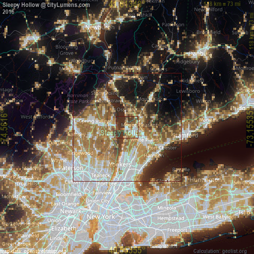
Analysis of Sleepy Hollow night lights 2016
Square area 10x10 km:
 10.06%
90-99
9.42%80-89
8.44%70-79
10.55%60-69
9.74%50-59
4.71%40-49
12.34%30-39
19.64%20-29
15.1%10-19
0%0-9
0%Square area 50x50 km:
10.8%90-99
9.38%80-89
6.24%70-79
8.4%60-69
11.97%50-59
7.03%40-49
5.16%30-39
5.34%20-29
8.71%10-19
12.81%0-9
14.15%Clear (daylight) street map image can be seen on geolist.org.
Map coordinates:
41° 36' 48.5" North, 74° 33' 41.8" West
41° 5' 8.3" North, 73° 51' 30.5" West
40° 33' 12.8" North, 73° 9' 19.3" West
Some cities around Sleepy Hollow sort by population:
• Greenburgh
6 km =3.7 mi,  167°
167°
• Ossining
8.6 km =5.3 mi,  358°
358°
• Tarrytown
1 km =0.6 mi,  181°
181°
• Dobbs Ferry
8 km =5 mi,  188°
188°
• Briarcliff Manor
7.3 km =4.5 mi,  23°
23°
• Pleasantville
7.6 km =4.7 mi,  46°
46°
• Nyack
5 km =3.1 mi,  276°
276°
• Irvington
5.2 km =3.2 mi, 189°
5138371 (p: 10,242)
Sources (retrieved 2019-11-25):
» Earth at Night: Flat Maps 2012, 2016