Iola night lights from space
Night Light of Iola (Kansas) from space (United States) Src. Average luminocity for 10x10km area is 17.7143% and for 50x50km: 1.3519%.
Analysis of Iola night lights 2016
Square area 10x10 km:
 1.14%
1.14%90-99
2.76%80-89
3.41%70-79
2.27%60-69
2.92%50-59
2.27%40-49
2.44%30-39
0.97%20-29
1.95%10-19
8.12%0-9
71.75%Square area 50x50 km:
0.05%90-99
0.14%80-89
0.25%70-79
0.15%60-69
0.23%50-59
0.16%40-49
0.18%30-39
0.22%20-29
0.17%10-19
0.65%0-9
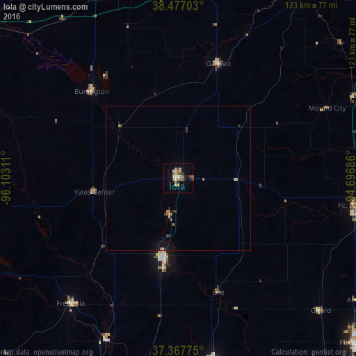
97.79%Clear (daylight) street map image can be seen on geolist.org.
Map coordinates:
38° 28' 37.3" North, 96° 6' 11.2" West
37° 55' 28.1" North, 95° 23' 59.9" West
37° 22' 3.9" North, 94° 41' 48.7" West
Some cities around Iola sort by population:
• Emporia
86.7 km =53.9 mi,  307°
307°
• Pittsburg
83.7 km =52 mi,  133°
133°
• Ottawa
77.7 km =48.3 mi,  8°
8°
• Parsons
66.1 km =41.1 mi,  169°
169°
• Chanute
27.7 km =17.2 mi,  190°
190°
• Independence
82.5 km =51.3 mi,  199°
199°
• Fort Scott
61.4 km =38.2 mi,  98°
98°
• Paola
85.2 km =52.9 mi,  32°
32°
4273441 (p: 5,470)
Sources (retrieved 2019-11-25):
» Earth at Night: Flat Maps 2012, 2016