Ottawa night lights from space
Night Light of Ottawa (Kansas) from space (United States) Src. Average luminocity for 10x10km area is 24.1055% and for 50x50km: 1.8472%.
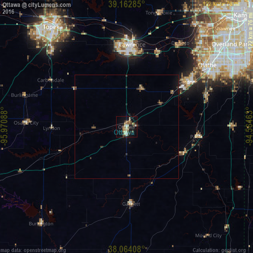
Analysis of Ottawa night lights 2016
Square area 10x10 km:
 1.62%
1.62%90-99
3.08%80-89
5.68%70-79
1.95%60-69
2.76%50-59
4.71%40-49
3.41%30-39
4.38%20-29
2.76%10-19
19.64%0-9
50%Square area 50x50 km:
0.07%90-99
0.13%80-89
0.31%70-79
0.16%60-69
0.24%50-59
0.32%40-49
0.41%30-39
0.48%20-29
0.31%10-19
1.24%0-9
96.33%Clear (daylight) street map image can be seen on geolist.org.
Map coordinates:
39° 9' 46.3" North, 95° 58' 15.2" West
38° 36' 56.1" North, 95° 16' 3.9" West
38° 3' 50.7" North, 94° 33' 52.7" West
Some cities around Ottawa sort by population:
• Olathe
48.9 km =30.4 mi,  52°
52°
• Lawrence
39.7 km =24.7 mi,  4°
4°
• Gardner
36.7 km =22.8 mi, 53°
• Eudora
39.3 km =24.4 mi,  21°
21°
• De Soto
48 km =29.8 mi,  32°
32°
• Spring Hill
40.9 km =25.4 mi,  69°
69°
• Paola
34.1 km =21.2 mi,  98°
98°
• Tonganoxie
57.1 km =35.5 mi, 15°
4276816 (p: 12,387)
Sources (retrieved 2019-11-25):
» Earth at Night: Flat Maps 2012, 2016