Kenora night lights from space
Night Light of Kenora (Ontario) from space (Canada) Src. Average luminocity for 10x10km area is 13.9933% and for 50x50km: 0.6707%.
Analysis of Kenora night lights 2016
Square area 10x10 km:
 0.53%
0.53%90-99
1.6%80-89
2.14%70-79
1.6%60-69
1.34%50-59
3.21%40-49
3.48%30-39
2.54%20-29
2.01%10-19
3.74%0-9
77.81%Square area 50x50 km:
0.03%90-99
0.08%80-89
0.09%70-79
0.07%60-69
0.06%50-59
0.16%40-49
0.17%30-39
0.13%20-29
0.08%10-19
0.18%0-9
98.96%Clear (daylight) street map image can be seen on geolist.org.
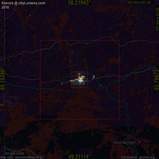
Map coordinates:
50° 13' 9.9" North, 95° 11' 34.7" West
49° 46' 2.7" North, 94° 29' 23.5" West
49° 18' 40.1" North, 93° 47' 12.2" West
Some cities around Kenora sort by population:
• Winnipeg
191 km =118.7 mi,  273°
273°
• Bemidji, US
256.7 km =159.5 mi,  186°
186°
• Selkirk
176.3 km =109.5 mi,  283°
283°
• Steinbach
160.3 km =99.6 mi,  260°
260°
• Thief River Falls, US
221 km =137.3 mi,  213°
213°
• Dryden
124.9 km =77.6 mi,  89°
89°
• Fort Frances
150.5 km =93.5 mi,  148°
148°
• International Falls, US
151.5 km =94.1 mi, 148°
5991055 (p: 15,096)
Sources (retrieved 2019-11-25):
» Earth at Night: Flat Maps 2012, 2016