Dryden night lights from space
Night Light of Dryden (Ontario) from space (Canada) Src. Average luminocity for 10x10km area is 3.5321% and for 50x50km: 0.5987%.
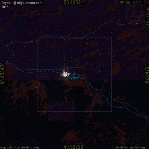
Analysis of Dryden night lights 2016
Square area 10x10 km:
 0.67%
0.67%90-99
0.4%80-89
0%70-79
0%60-69
0.53%50-59
0.53%40-49
0.53%30-39
0%20-29
0%10-19
2.27%0-9
95.05%Square area 50x50 km:
0.15%90-99
0.14%80-89
0.02%70-79
0.02%60-69
0.06%50-59
0.04%40-49
0.06%30-39
0%20-29
0.03%10-19
0.33%0-9
99.16%Clear (daylight) street map image can be seen on geolist.org.
Map coordinates:
50° 14' 6.8" North, 93° 27' 12.4" West
49° 47' 0" North, 92° 45' 1.2" West
49° 19' 38" North, 92° 2' 49.9" West
Some cities around Dryden sort by population:
• Hibbing, US
262.3 km =163 mi,  183°
183°
• Kenora
124.9 km =77.6 mi,  269°
269°
• Grand Rapids, US
288.9 km =179.5 mi,  191°
191°
• Selkirk
298.4 km =185.4 mi,  277°
277°
• Steinbach
284.6 km =176.8 mi,  264°
264°
• Virginia, US
251.8 km =156.5 mi, 176°
• Fort Frances
138 km =85.7 mi,  200°
200°
• International Falls, US
139.9 km =86.9 mi, 200°
5942913 (p: 8,195)
Sources (retrieved 2019-11-25):
» Earth at Night: Flat Maps 2012, 2016