Hoopeston night lights from space
Night Light of Hoopeston (Illinois) from space (United States) Src. Average luminocity for 10x10km area is 9.8299% and for 50x50km: 1.1768%.
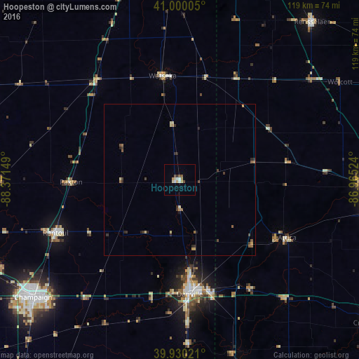
Analysis of Hoopeston night lights 2016
Square area 10x10 km:
 1.19%
1.19%90-99
1.53%80-89
2.04%70-79
1.36%60-69
0.68%50-59
2.04%40-49
0.68%30-39
0.68%20-29
0%10-19
0%0-9
89.8%Square area 50x50 km:
0.05%90-99
0.07%80-89
0.26%70-79
0.15%60-69
0.19%50-59
0.23%40-49
0.23%30-39
0.29%20-29
0.28%10-19
0.05%0-9
98.19%Clear (daylight) street map image can be seen on geolist.org.
Map coordinates:
41° 0' 0.2" North, 88° 22' 17.4" West
40° 28' 2.1" North, 87° 40' 6.1" West
39° 55' 48.8" North, 86° 57' 54.9" West
Some cities around Hoopeston sort by population:
• Champaign
62.5 km =38.8 mi,  231°
231°
• Lafayette
67.3 km =41.8 mi,  94°
94°
• West Lafayette
64.5 km =40.1 mi, 94°
• Urbana
60.5 km =37.6 mi, 229°
• Danville
38.3 km =23.8 mi,  175°
175°
• Rantoul
44.9 km =27.9 mi,  246°
246°
• Savoy
67.5 km =41.9 mi, 227°
• Watseka
34.8 km =21.6 mi,  350°
350°
4896390 (p: 5,220)
Sources (retrieved 2019-11-25):
» Earth at Night: Flat Maps 2012, 2016