Danville night lights from space
Night Light of Danville (Illinois) from space (United States) Src. Average luminocity for 10x10km area is 56.7532% and for 50x50km: 6.3194%.
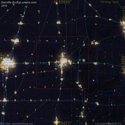
Analysis of Danville night lights 2016
Square area 10x10 km:
 11.85%
90-99
13.96%80-89
7.31%70-79
4.55%60-69
6.49%50-59
6.33%40-49
10.55%30-39
7.95%20-29
20.13%10-19
10.88%0-9
0%Square area 50x50 km:
0.63%90-99
0.8%80-89
1.16%70-79
0.58%60-69
0.93%50-59
0.86%40-49
0.91%30-39
0.94%20-29
2%10-19
3.65%0-9
87.54%Clear (daylight) street map image can be seen on geolist.org.
Map coordinates:
40° 39' 36" North, 88° 19' 59.3" West
40° 7' 28.1" North, 87° 37' 48.1" West
39° 35' 5" North, 86° 55' 36.8" West
Some cities around Danville sort by population:
• Champaign
52.2 km =32.4 mi,  269°
269°
• Urbana
49.1 km =30.5 mi, 268°
• Crawfordsville
64.9 km =40.3 mi,  98°
98°
• Rantoul
49.1 km =30.5 mi,  294°
294°
• Paris
57.4 km =35.7 mi,  185°
185°
• Savoy
53.4 km =33.2 mi,  261°
261°
• Mahomet
66.3 km =41.2 mi,  276°
276°
• Hoopeston
38.3 km =23.8 mi,  355°
355°
4889426 (p: 32,108)
Sources (retrieved 2019-11-25):
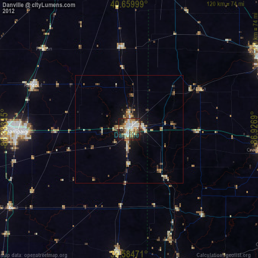
» Earth at Night: Flat Maps 2012, 2016