Urbana night lights from space
Night Light of Urbana (Illinois) from space (United States) Src. Average luminocity for 10x10km area is 70.4935% and for 50x50km: 9.472%.
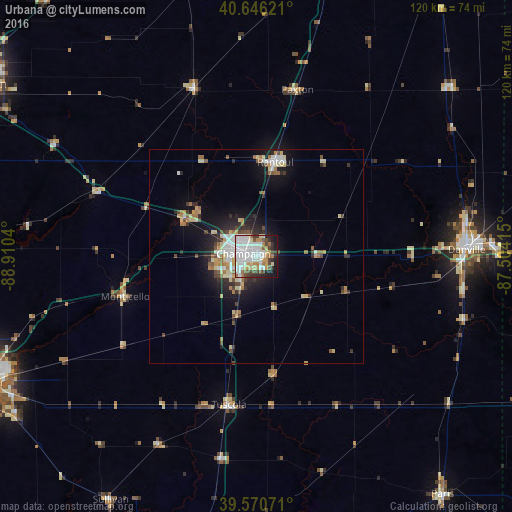
Analysis of Urbana night lights 2016
Square area 10x10 km:
 24.51%
90-99
20.78%80-89
6.98%70-79
6.66%60-69
5.84%50-59
4.71%40-49
7.31%30-39
6.01%20-29
7.14%10-19
9.42%0-9
0.65%Square area 50x50 km:
1.62%90-99
1.71%80-89
1.51%70-79
0.89%60-69
1.23%50-59
0.91%40-49
1.17%30-39
1.07%20-29
2.15%10-19
5.5%0-9
82.24%Clear (daylight) street map image can be seen on geolist.org.
Map coordinates:
40° 38' 46.4" North, 88° 54' 37.4" West
40° 6' 38.1" North, 88° 12' 26.2" West
39° 34' 14.6" North, 87° 30' 14.9" West
Some cities around Urbana sort by population:
• Champaign
3.1 km =1.9 mi,  281°
281°
• Danville
49.1 km =30.5 mi,  88°
88°
• Rantoul
22.4 km =13.9 mi,  11°
11°
• Savoy
7.3 km =4.5 mi,  211°
211°
• Mahomet
19.2 km =11.9 mi,  299°
299°
• Clinton
64.6 km =40.1 mi,  274°
274°
• Monticello
32.5 km =20.2 mi,  253°
253°
• Hoopeston
60.5 km =37.6 mi,  49°
49°
4914570 (p: 42,311)
Sources (retrieved 2019-11-25):
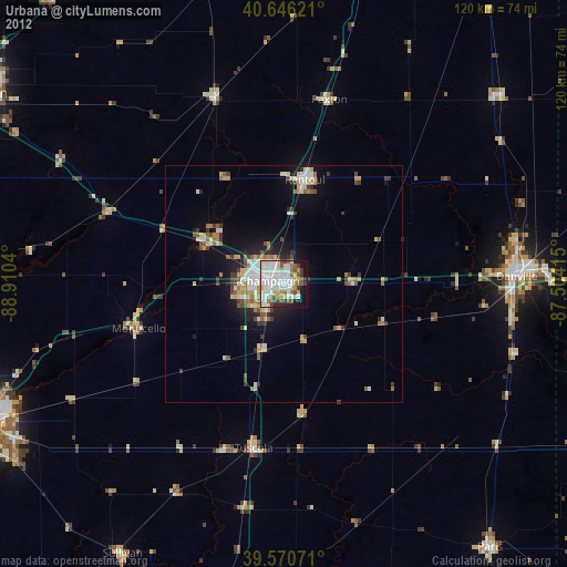
» Earth at Night: Flat Maps 2012, 2016