Lafayette night lights from space
Night Light of Lafayette (Indiana) from space (United States) Src. Average luminocity for 10x10km area is 80.1769% and for 50x50km: 7.77%.
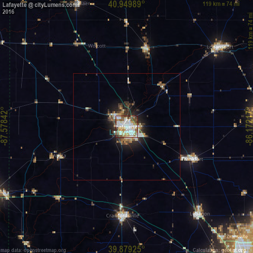
Analysis of Lafayette night lights 2016
Square area 10x10 km:
 25.51%
90-99
22.11%80-89
12.76%70-79
9.86%60-69
6.29%50-59
10.54%40-49
7.31%30-39
4.76%20-29
0.85%10-19
0%0-9
0%Square area 50x50 km:
1.47%90-99
1.28%80-89
0.91%70-79
0.85%60-69
0.79%50-59
1.14%40-49
1.15%30-39
1.38%20-29
2.13%10-19
3.72%0-9
85.18%Clear (daylight) street map image can be seen on geolist.org.
Map coordinates:
40° 56' 59.6" North, 87° 34' 42.3" West
40° 25' 0.1" North, 86° 52' 31" West
39° 52' 45.3" North, 86° 10' 19.8" West
Some cities around Lafayette sort by population:
• Kokomo
63.2 km =39.3 mi,  82°
82°
• West Lafayette
3 km =1.9 mi,  290°
290°
• Logansport
57.7 km =35.9 mi,  49°
49°
• Frankfort
34.4 km =21.4 mi,  116°
116°
• Crawfordsville
41.8 km =26 mi,  179°
179°
• Lebanon
53.5 km =33.2 mi,  139°
139°
• Rensselaer
62.3 km =38.7 mi,  338°
338°
• Monticello
37.7 km =23.4 mi,  14°
14°
4922462 (p: 71,111)
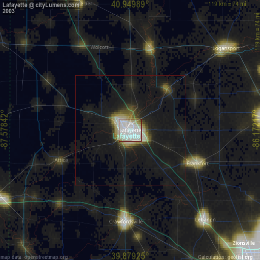
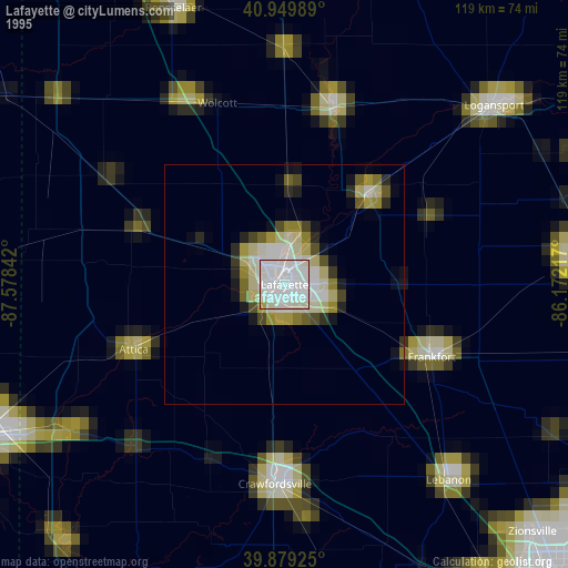
Sources (retrieved 2019-11-25):
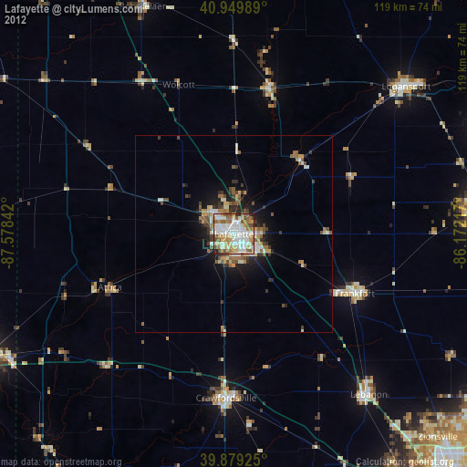
» NASA, Earths city lights 1995
» NASA city lights 2003
» Earth at Night: Flat Maps 2012, 2016