West Lafayette night lights from space
Night Light of West Lafayette (Indiana) from space (United States) Src. Average luminocity for 10x10km area is 71.2092% and for 50x50km: 7.6124%.
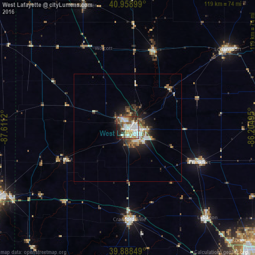
Analysis of West Lafayette night lights 2016
Square area 10x10 km:
 21.94%
90-99
19.39%80-89
9.86%70-79
9.01%60-69
3.23%50-59
9.52%40-49
6.46%30-39
7.82%20-29
7.48%10-19
5.27%0-9
0%Square area 50x50 km:
1.47%90-99
1.22%80-89
0.91%70-79
0.84%60-69
0.79%50-59
1.09%40-49
1.13%30-39
1.33%20-29
2.11%10-19
3.69%0-9
85.44%Clear (daylight) street map image can be seen on geolist.org.
Map coordinates:
40° 57' 32.4" North, 87° 36' 40.3" West
40° 25' 33.1" North, 86° 54' 29.1" West
39° 53' 18.6" North, 86° 12' 17.8" West
Some cities around West Lafayette sort by population:
• Lafayette
3 km =1.9 mi,  110°
110°
• Logansport
59.2 km =36.8 mi,  51°
51°
• Frankfort
37.4 km =23.2 mi,  115°
115°
• Crawfordsville
42.9 km =26.7 mi,  176°
176°
• Lebanon
56.1 km =34.9 mi,  138°
138°
• Rensselaer
60.4 km =37.5 mi,  340°
340°
• Monticello
37.5 km =23.3 mi,  18°
18°
• Hoopeston
64.5 km =40.1 mi,  274°
274°
4928096 (p: 45,550)
Sources (retrieved 2019-11-25):
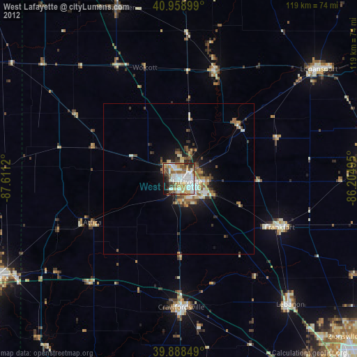
» Earth at Night: Flat Maps 2012, 2016