Watseka night lights from space
Night Light of Watseka (Illinois) from space (United States) Src. Average luminocity for 10x10km area is 10.8458% and for 50x50km: 1.7433%.
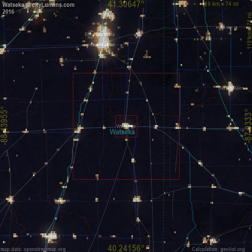
Analysis of Watseka night lights 2016
Square area 10x10 km:
 1.62%
1.62%90-99
1.62%80-89
1.62%70-79
1.79%60-69
1.14%50-59
0.32%40-49
0.49%30-39
1.95%20-29
1.79%10-19
0.65%0-9
87.01%Square area 50x50 km:
0.08%90-99
0.12%80-89
0.41%70-79
0.42%60-69
0.23%50-59
0.23%40-49
0.17%30-39
0.38%20-29
0.31%10-19
0.17%0-9
97.48%Clear (daylight) street map image can be seen on geolist.org.
Map coordinates:
41° 18' 23.3" North, 88° 26' 22.4" West
40° 46' 34.1" North, 87° 44' 11.1" West
40° 14' 29.6" North, 87° 1' 59.9" West
Some cities around Watseka sort by population:
• Kankakee
39.6 km =24.6 mi,  344°
344°
• Bourbonnais
43.9 km =27.3 mi, 343°
• Bradley
42 km =26.1 mi,  345°
345°
• Rantoul
62.9 km =39.1 mi,  214°
214°
• Lowell
63.1 km =39.2 mi,  24°
24°
• Manteno
53.4 km =33.2 mi, 351°
• Rensselaer
52.4 km =32.6 mi,  70°
70°
• Hoopeston
34.8 km =21.6 mi,  170°
170°
4915703 (p: 5,070)
Sources (retrieved 2019-11-25):
» Earth at Night: Flat Maps 2012, 2016